


It looks to be a quiet, mostly dry start for the first week of September...and any year that you can say that on the Gulf Coast, it's already a good start.

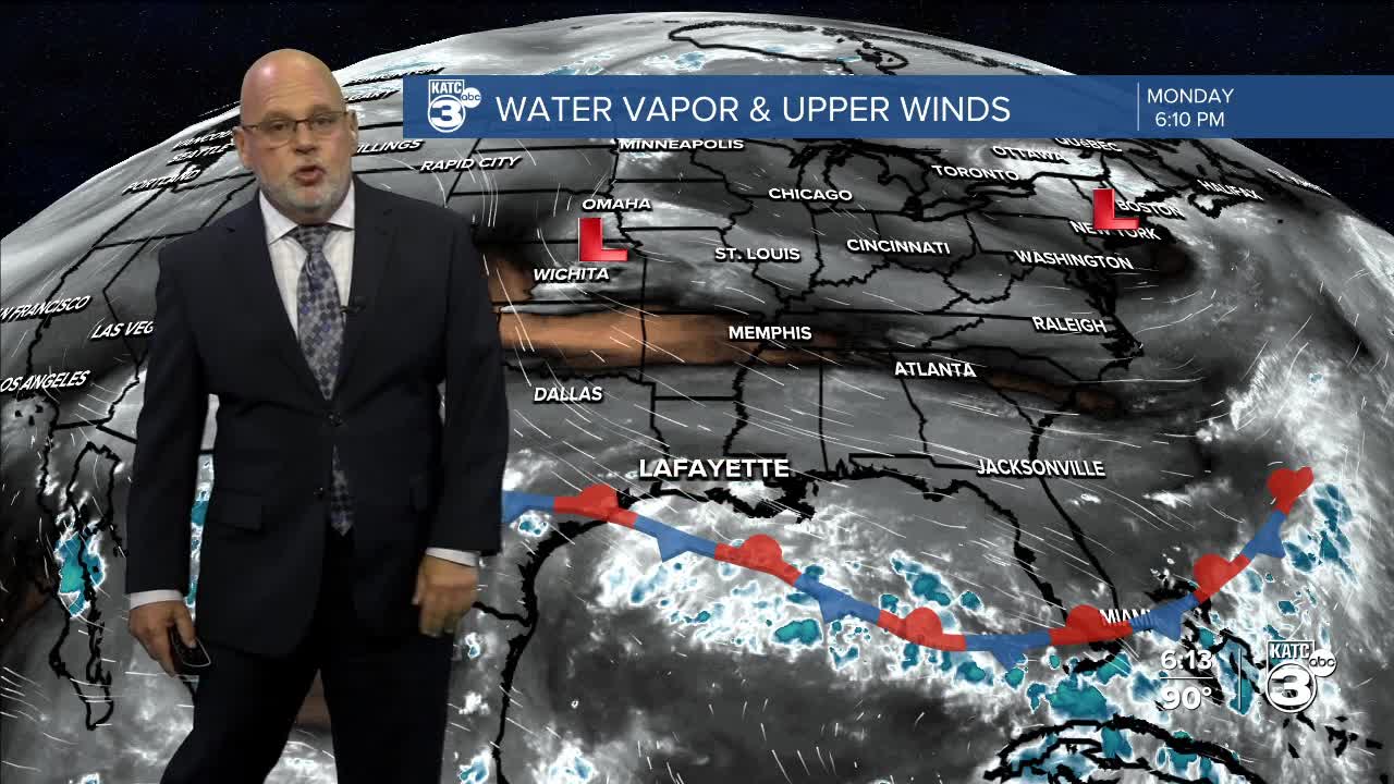
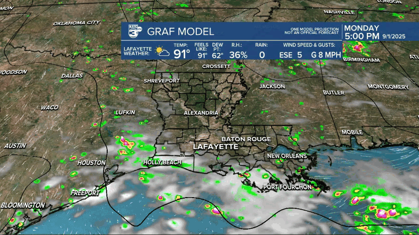
Weak high pressure that has build behind a stationary front in the Gulf will keep a mostly dry pattern in the days ahead with rain chances 10% or less on any given day this week.
Highs will continue right around the lower 90s while night time/morning lows will be closer to the lower 70s through mid-week.
Another weak upper trough and weak surface front looks to arrive in the area next weekend with little fanfare and just some slight cooling (by 2-3°) for our daytime highs and lows into early next week.
Rain chances may finally perk up with more "troughiness" toward the end of next week, which could also usher in a cooler frontal but that's too far off to say with any certainty.
Consult the KATC 10 Day Forecast for the latest.

Meanwhile, it's always a good when we're not talking about any Gulf threats on the Labor Day weekend. The latest below:
And speaking of Labor Day Weekend storms, it's 17 years since Hurricane Gustav slammed the Acadiana area, with Hurricane Ike's surge following only 12 days later...more below:
