


The good news is that there won't be any trickle down impacts from the storms that came through on Wednesday.
After shooting up a few feet in an hour or two the Vermilion River ended up leveling out a little under 12.5', so while it's still very high we won't see it climb anymore the next few days.
Bayou de Cannes was the other waterway that saw a rise in levels and it seems like that has also leveled out and should start to fall after the next few days.
Thursday's forecast will be mostly quiet with only a few isolated showers, which will give us a chance to dry out from the last couple of days.

A surface low looks to develop in the Gulf on Friday and the placement of that low will largely dictate they type of rainfall we get during the weekend.
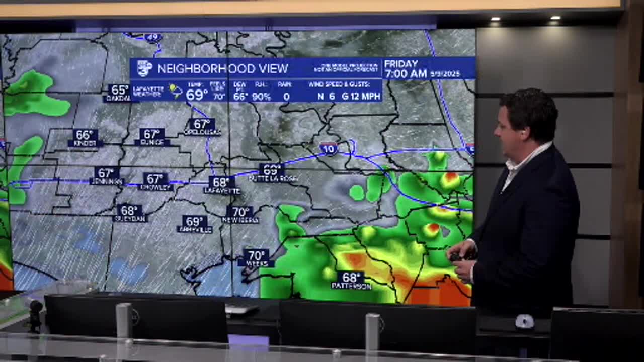
As of now it seems likely that we'll get a return of widely scattered showers and a few storms on Friday, with rain becoming a little more isolated over the weekend.
You'll want to keep an eye on the radar as showers will be pop up in nature, so while it won't be worth canceling plans you'll likely want a back up plan just in case.
Drier weather will move in for next week and temperatures will start to climb getting into the upper 80s by week's end.
It wouldn't be surprising if we get our first 90 degree day of the year next week either.
