


Acadiana will continue to see spring-like conditions in the days ahead with some late night/early morning fog possible, a few isolated showers mid-week, followed by a potentially stormy Saturday.
In the near term, the National Weather Service has issued a Dense Fog Advisory for most of Acadiana from 11pm through 10am Tuesday.

While fog will not only be possible tonight, it could be an issue again Tuesday night into Wednesday morning.

There should be some mitigating factors such as higher clouds, most especially breezy southerly winds.

So we're looking at the possibility of radiational (inland) and sea fog developing was warmer Gulf air gets chilled by the coastal shelf waters allowing for cloud condensation and the fog.

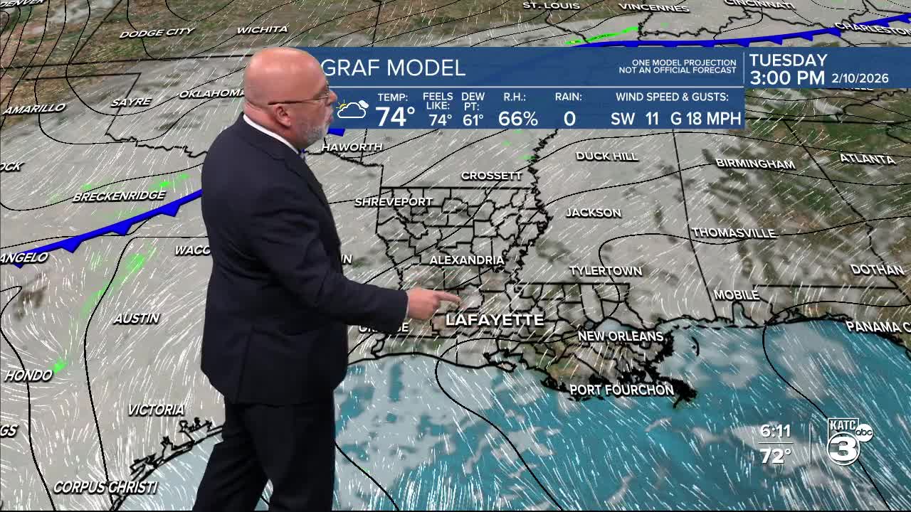
After any fog burns off, or that will be slow to lift, Acadiana will see a mostly cloudy Tuesday with highs well into the mid-70s. Rain chances will stay near 10%.
The odds of a few more showers could increase to 20-30% Tuesday night into Wednesday as we'll continue to get an increasingly moist fetch from the Gulf.

A weak frontal boundary looks to washout as it moves through the area Wednesday with only minimal cooling.
Thursday and Friday look partly cloudy and continued mild.
Highs for the entire week should be in the mid-70s, while lows stay primarily in the 50s.
Acadiana's next weather-maker is looking to arrive this weekend, with the models honing in on Saturday evening, for now...

There could also be a low-end severe threat with this system, and timing can easily change plus or minus 12 hours or more given that this is 5 days away.

It should be windy and warm ahead of this system during the day Saturday...afterwards the forecast Sunday through Tuesday looks quite favorable, with highs generally in the upper 60s to lower 70s through Mardi Gras, and we could even reach the mid-70s for Fat Tuesday!
See the KATC 10 Day Forecast for the latest.
