


A moderating temperature trend is expected for Acadiana into the weekend, but the strongest cool front of the season, arriving Sunday, may a bring our first frost early next week.

In the near term it will be some 5-10° milder tonight/Wednesday morning as compared with the previous two nights, with morning lows closer mid-upper 40s to lower 50s.

And with temperatures meeting up with slowly increase dew points, there could be some areas of fog developing toward daybreak...and fog could be in the forecast (and perhaps thicker) Wednesday night into Thursday morning.
Look for more sunshine for Acadiana's Wednesday with temperatures warming into the upper 70s.

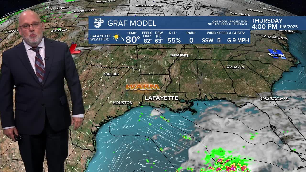
Highs in the will be pushing into the 80s Thursday into the weekend while nighttime lows warm from the 50s into the mid-60s by the end of the week.

This weekend promises more dry weather in spite of a front heading this way by Sunday morning...rain chances will be no higher than 10% early/predawn Sunday.

Thereafter, look for the chilliest weather of the fall season with highs struggling to get out of the 50s Monday while nighttime/morning lows could drop to near the "frost zone" in the low-mid 30s for portions of the Acadiana area Monday night into Tuesday morning.

Thereafter, another slow moderating trend will ensue mid-late next week and likely into the following weekend.
See the KATC 10 Day Forecast for the latest.
