


Milder temperatures are expected for Acadiana Friday and Saturday ahead of our strongest cold front of the season Sunday followed by sub-freezing temperatures into Sunday night.

In the near term, expect temperatures to hold in the mid-upper 40s overnight into Friday morning with some areas of fog possible as moisture air returns from the Gulf.

It should warm up nicely for our Friday with highs back into the low-mid 70s, depending on the expected increase in cloud cover.

We cannot rule out an isolated light shower Friday as warmer and increasingly moist air fluxes in from the Gulf.

Look for more of the same Saturday, with the risk of some morning fog, and perhaps one or two isolated showers as temperatures top out in the balmy mid-70s.
BIG CHANGES ON THE WAY...
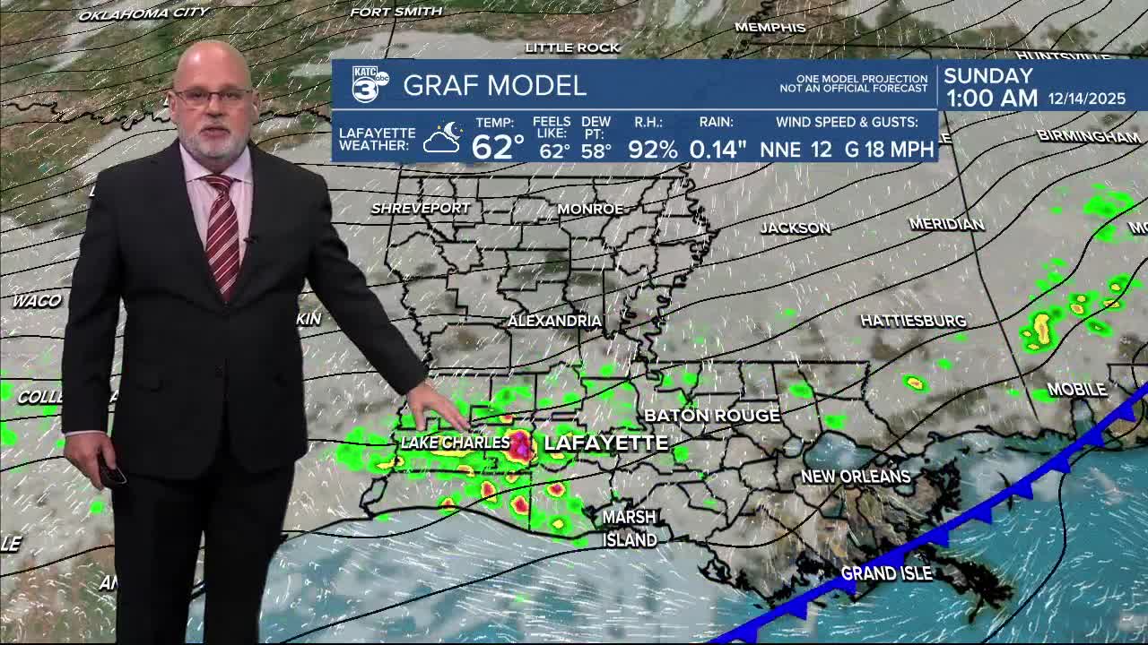
A strong cold front will push through the area Saturday night with some light rain showers a good bet, primarily after the surface front pushes through (around midnight, give or take a few hours) and when the colder air aloft begins to move into the region.
It will become windy and sharply colder Sunday with daytime readings confined mostly in the 40s while wind chills drop into the mid-30s.
Sunday may start out mostly cloudy with a few leftover sprinkles, but sunshine is expected for the afternoon.
Strong and gusty northerly winds near 15-25 mph will be likely Sunday, with some gusts into the 30mph+ range possible...expect a Wind Advisory for Sunday.

Just a brief touch of some arctic air will advance into the area into Sunday night and Monday morning with the coldest lows of the season somewhere in the mid-upper 20s in most areas...but it could be a few degrees colder to the north.
Wind chills Monday morning could be in the teens.
So with milder weather into the weekend, it will be a good time to move the plants and take some pipe precautions for elevated homes etc (don't ask us, ask your plumber about your home) as temperatures could be sub-freezing for 8-10 or 12 hours Sunday night into Monday morning.
Sunny and chilly weather (40s) will continue Monday with another freeze, albeit a light one, expected for Monday/night Tuesday morning.

Milder temperatures, back into the 70s, are expected for mid-late next week, and more than likely into the weekend and beyond.
See the KATC 10 Day Forecast for the latest.
Meanwhile, the long-term outlook for Christmas Week is looking quite mild.

Current Euro/GFS model and Climate Prediction Center data suggesting that there's an 80-90% chance that it will be mild for Christmas Week with highs perhaps pushing the mid-upper 70s...and there may be an 80° day in there too!

Normal this time of year should be mid-60s...it also looks dry the Bayou State for the bulk of that week too.
