


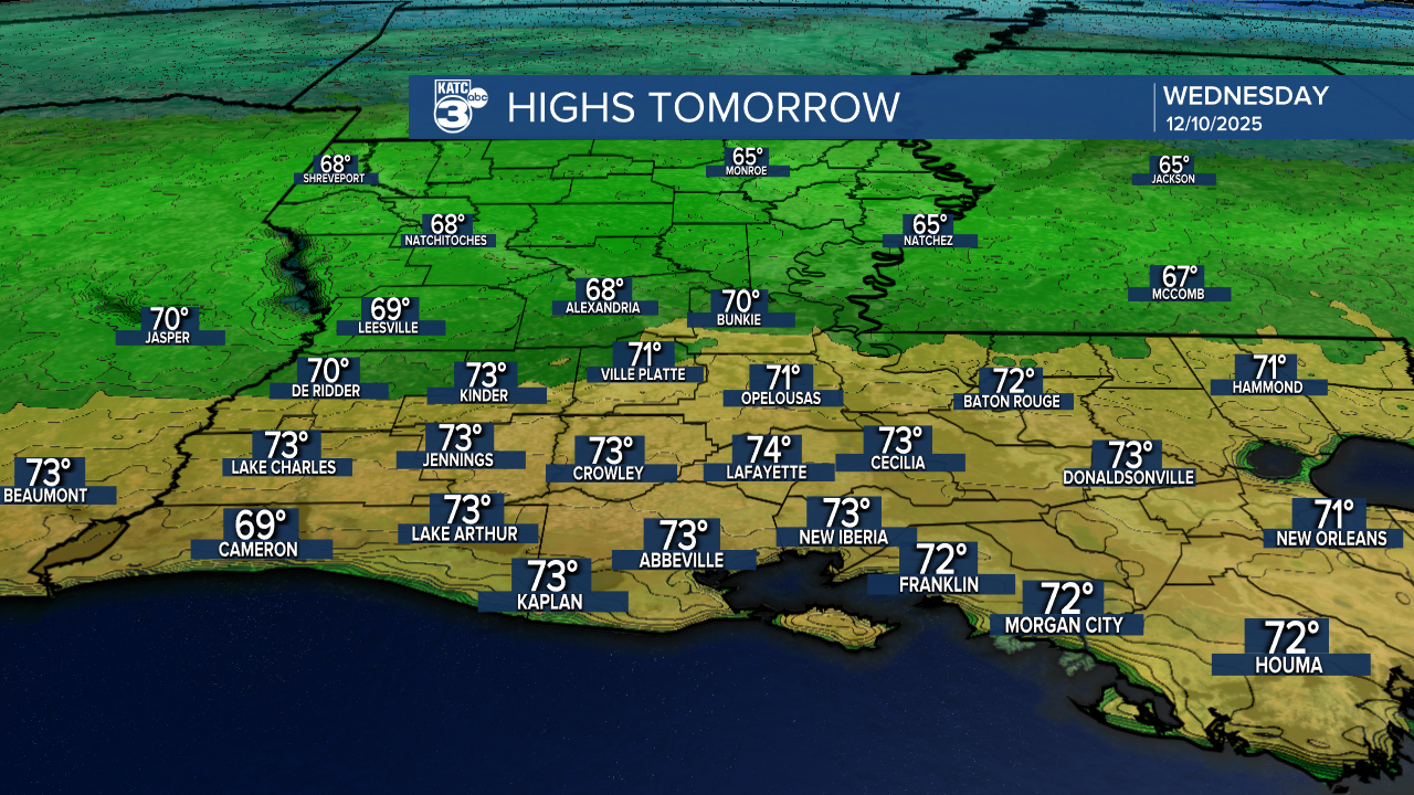
After a chilly start, Acadiana can expect a warm-up into the 70s Wednesday accompanied by breezy winds as a cool front passes during the afternoon.

Wednesday's front shouldn't have much moisture or atmospheric support for anything more than perhaps some clouds...otherwise it should be a mostly sunny day.
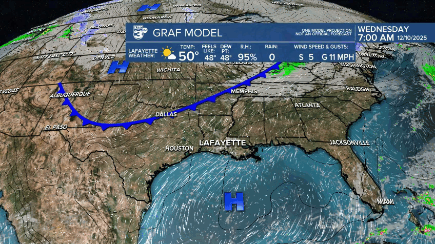
Temperatures will soar back into the 70s Wednesday as southwesterly to westerly winds shift to the northwest and increase during the afternoon hours.
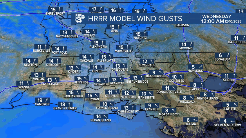
Gusts to 20-25 mph will be likely in the afternoon.
It will turn chillier again Wednesday night into Thursday morning with lows dropping temporarily back down into the upper 30s to lower 40s.

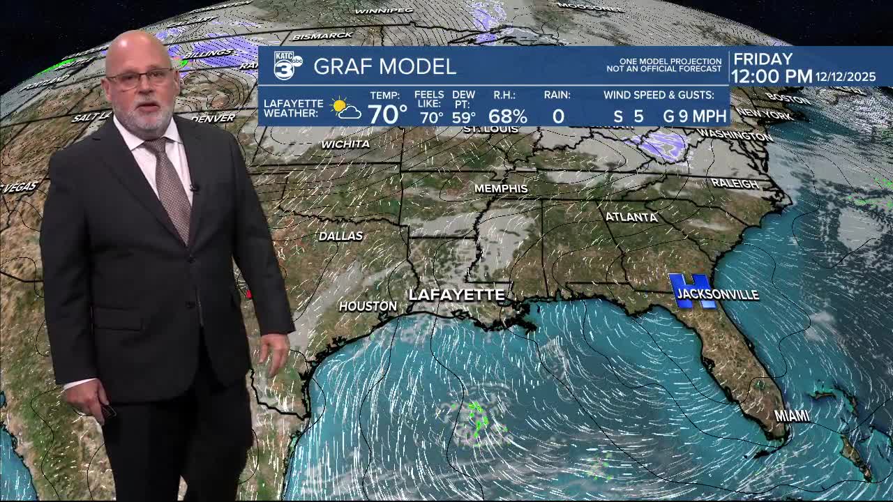
Mostly sunny skies are expected to continue Thursday and Friday with cooler highs in the low-mid 60s Thursday, but moderating back into the mid-70s for Friday and Saturday.
Expect more clouds for this weekend as our next front looks to arrive Sunday with minimal rain chances at this time.
After a chilly Monday, much of next week appears seasonably mild, with more clouds, and the possibility of a better chance of shower activity by mid-week.
See the KATC 10 Day Forecast for the latest.
