


Increasingly hotter temperatures are expected for Acadiana this weekend, and will amplify into early next week, but changes in the pattern are expected to ease the heat by the end of next week.
In the near term and through the weekend expect partly to at times mostly cloudy skies with hot and humid conditions.

Highs this weekend will be in the mid-90s while heat index values top out in the 102°-106° range.

Rain chances are expected to stay near 10% or less through Tuesday with very few isolated pop-up thundershowers possible.

Mostly sunny skies accompanied by temperatures soaring into the upper 90s are expected for early next week, with heat index values rising to the more dangerous 108°-115° range.
Overnight/morning lows will migrate from the upper 70s this weekend to near 80° early next week.
A change in the pattern should arrive later next week as a weak frontal trough approaches the area allowing for deeper moisture to pool in the area, resulting in a better chance of scattered showers and thunderstorms.
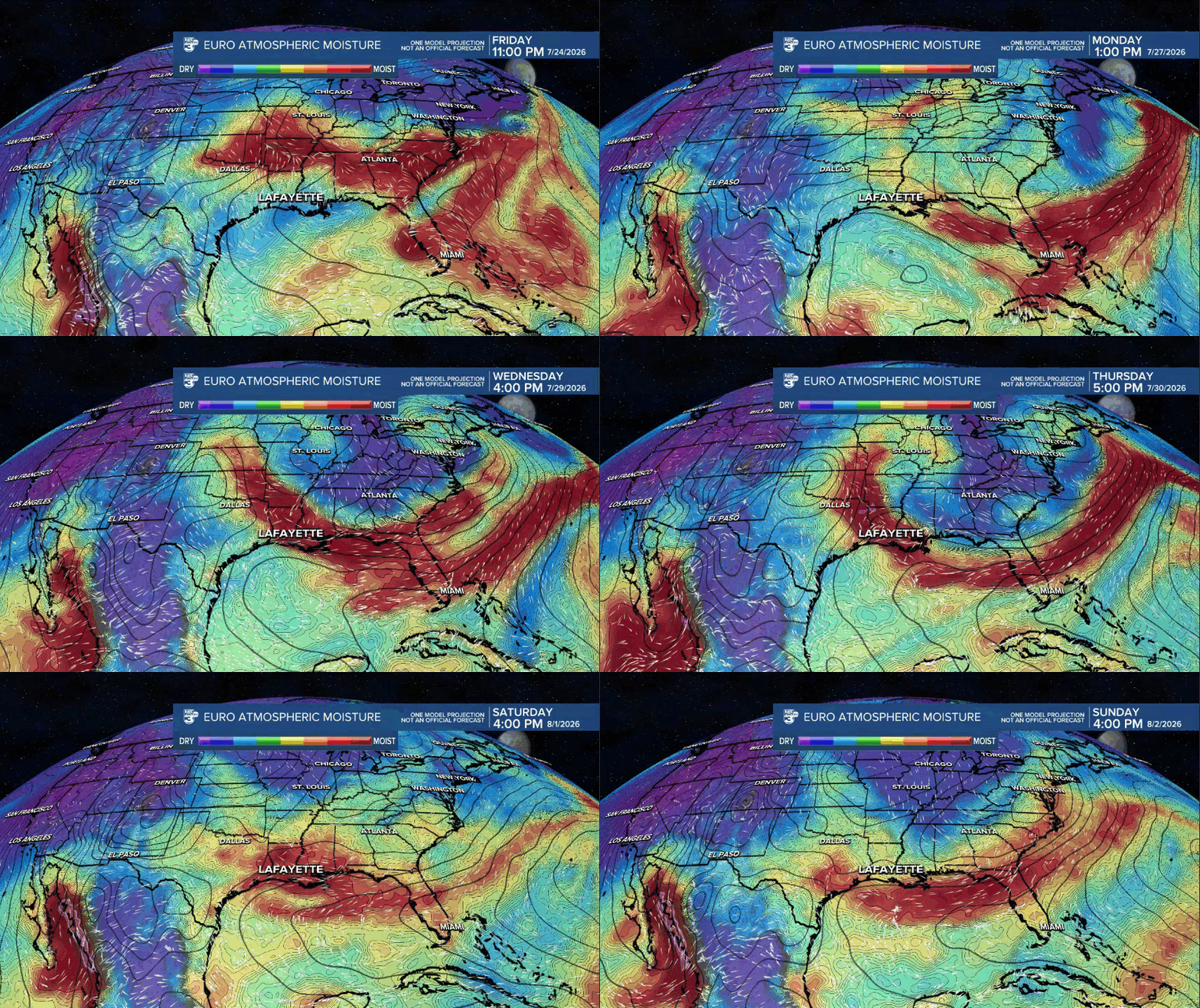
Thereafter, there will be a period of at least several days where Acadiana will have a decent chance of scattered showers and thunderstorms.
See the KATC 10 Day Forecast for the latest.
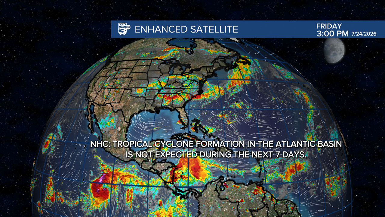
Meanwhile in the tropics, it's all quiet in the Atlantic Basin and it should stay that way for more than a week!

In the Eastern Pacific (where it's expected to be busier than normal thanks in part to El Niño) there are 3 systems brewing, including Category 2 Hurricane Fausto.

Fausto could threaten the Hawaiian Islands as a tropical storm by mid-next week.
