


JUNE 2, 2025 — It's that time of year as we enter June, Acadiana's weather gets hotter and more humid with the eventuality of the risk of scattered afternoon showers and thunderstorms...and that's the forecast for this week.
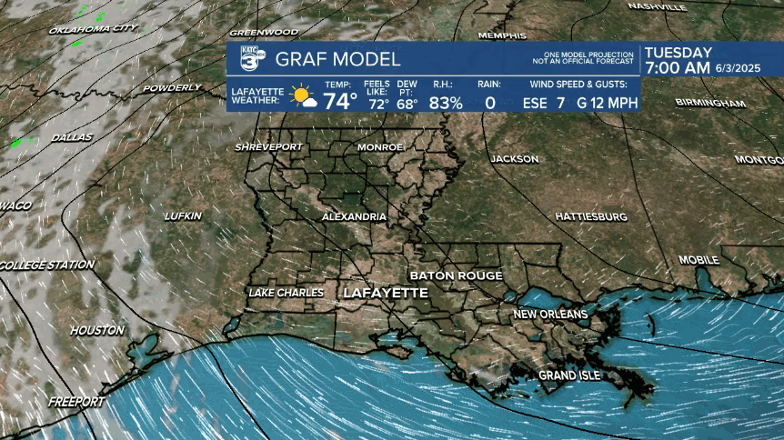
While dry air in place Acadiana should see another sunny and warm, rain-free day Tuesday.

By Wednesday, an upper ridge in Mexico will drift more westward allowing for a little more of a weakness in the upper atmosphere which should allow for the chance of a few late afternoon/early evening storms Wednesday.
Southeasterly winds will continue to pump Gulf moisture into the region through the end of the week through the weekend bringing higher humidity an a little more surface moisture to feed pop-up afternoon showers and a few thunderstorms as we round out the week and head into the weekend.
Any thunderstorms we see later this week and into the weekend should be more of the garden variety with severe weather currently not expected on any given day.
Daytime highs will climb from the upper 80s Tuesday to near the lower 90s by the end of the week and will continue through the weekend.
And with higher humidity and temperatures pushing the lower 90s, our heat indices will probably reach 105°+ this weekend.
Next week, a frontal trough looks to settle along the Northern Gulf Coast allowing for a better chance of rains and some additional storminess.

See the KATC 10 Day Forecast for the latest.
Meanwhile, the National Hurricane Center is watching and area offshore of the Southeastern U.S. Coast...

"A non-tropical area of low pressure is forecast to form near or offshore of the southeastern U.S. coast during the next couple of days. If the system remains offshore, the low could gradually develop some subtropical or tropical characteristics later this week while moving northeastward at 10 to 15 mph."
No threat to the Gulf nor any other system for the next week to 10 days at least.
