


After a couple of hot and humid, and mostly dry summer days for Acadiana, the pattern will change to unsettled and wet later this week, as another disturbance is expected traverse the Northern Gulf states.
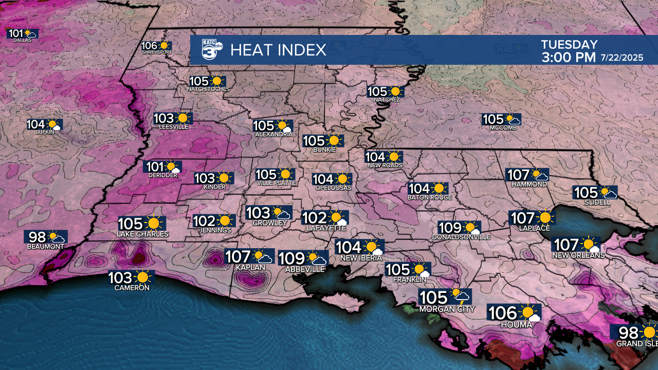
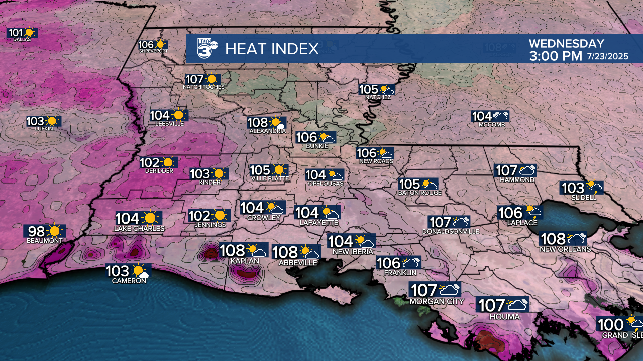
In the near term, the National Weather Service has a Heat Advisory in effect for Acadiana Tuesday, and it will likely be issued again for Wednesday.
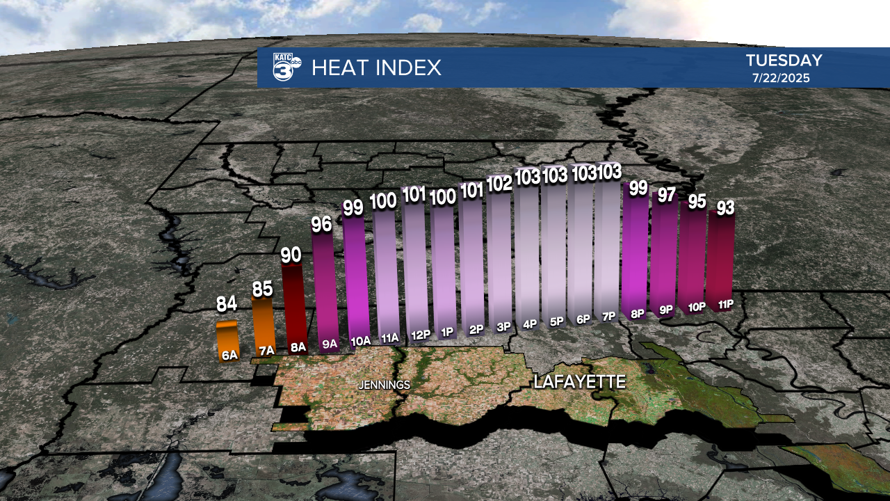
High temperatures will push the mid 90s Tuesday and Wednesday while heat index values soar into the 103-108° range.
And like Monday, the heat index will be highest across the coastal parishes (near the Gulf) and bodies of water, for example near the Atchafalaya Basin.
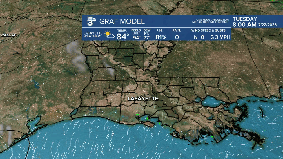
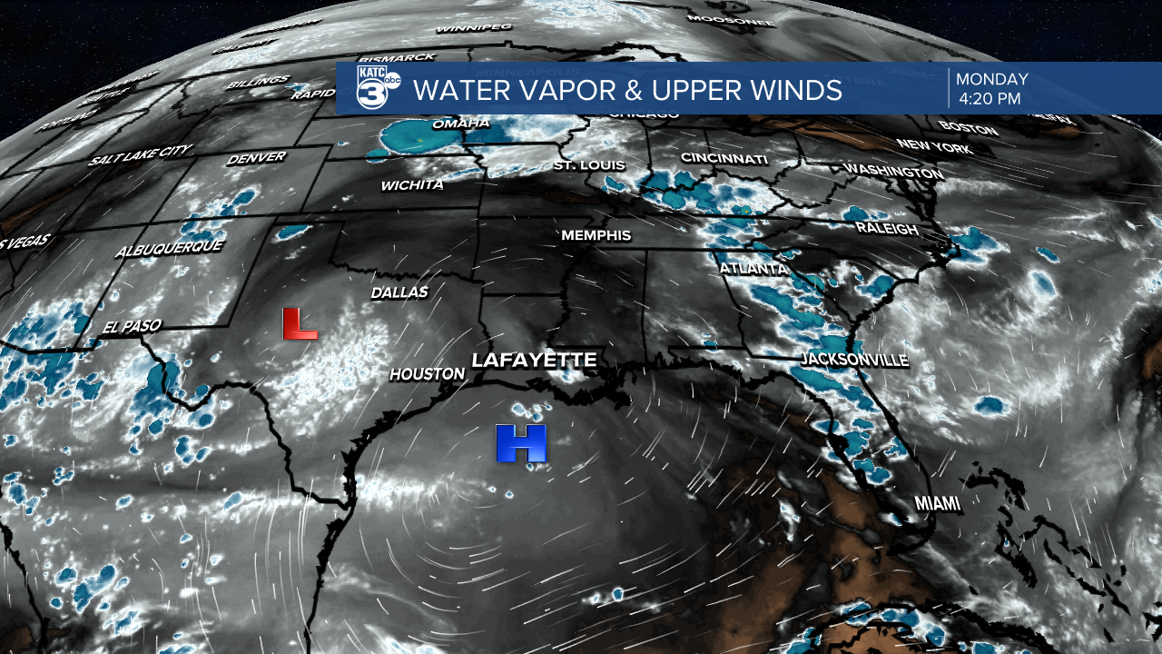
A strong upper ridge of high pressure will keep rain chances at bay, down to 10% or less Tuesday and 20% or less Wednesday.
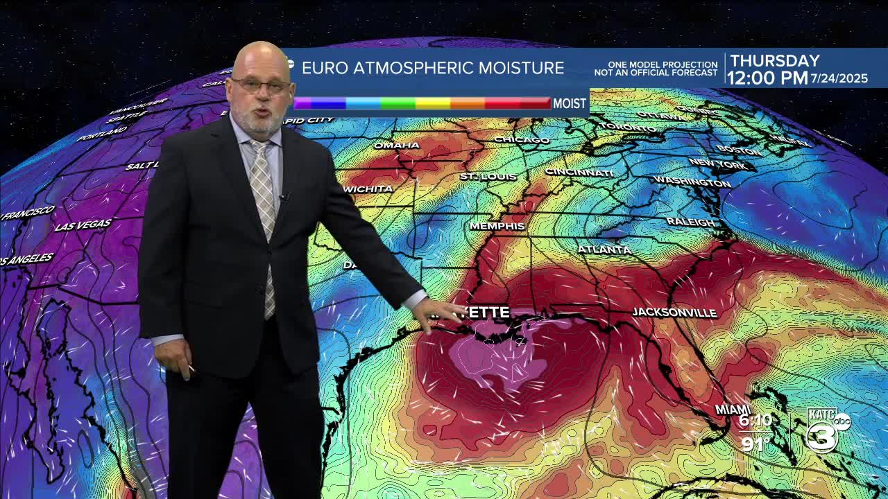
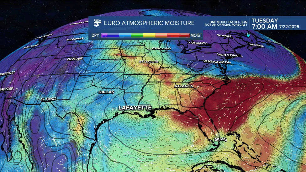
Rain chances are expected to perk up Thursday into Friday as another disturbance carrying deep tropical moisture will move east to west across the Northern Gulf.
Of note today, the Euro is open and up to a medium chance of tropical depression development...which may not make that much of difference in our local forecast.

The bottom line for Acadiana now, is just calling for higher rain chances and a couple of inches of rain with main big rains perhaps staying offshore.
Something at least for us meteorologists to talk about this week, but concern level is not too high at this point.
Rain chances and tropical moisture should linger into the weekend although the chances of precipitation may ease a bit.
In the longer range, better than normal rain chances look to stay in the region into the following week.
See the KATC 10 Day Forecast for the latest.

Elsewhere in the tropics, the NHC is keeping an eye on a weakening low in the open Tropical Atlantic, with odds of development at 10% and falling...likely no concerns with this system.
