


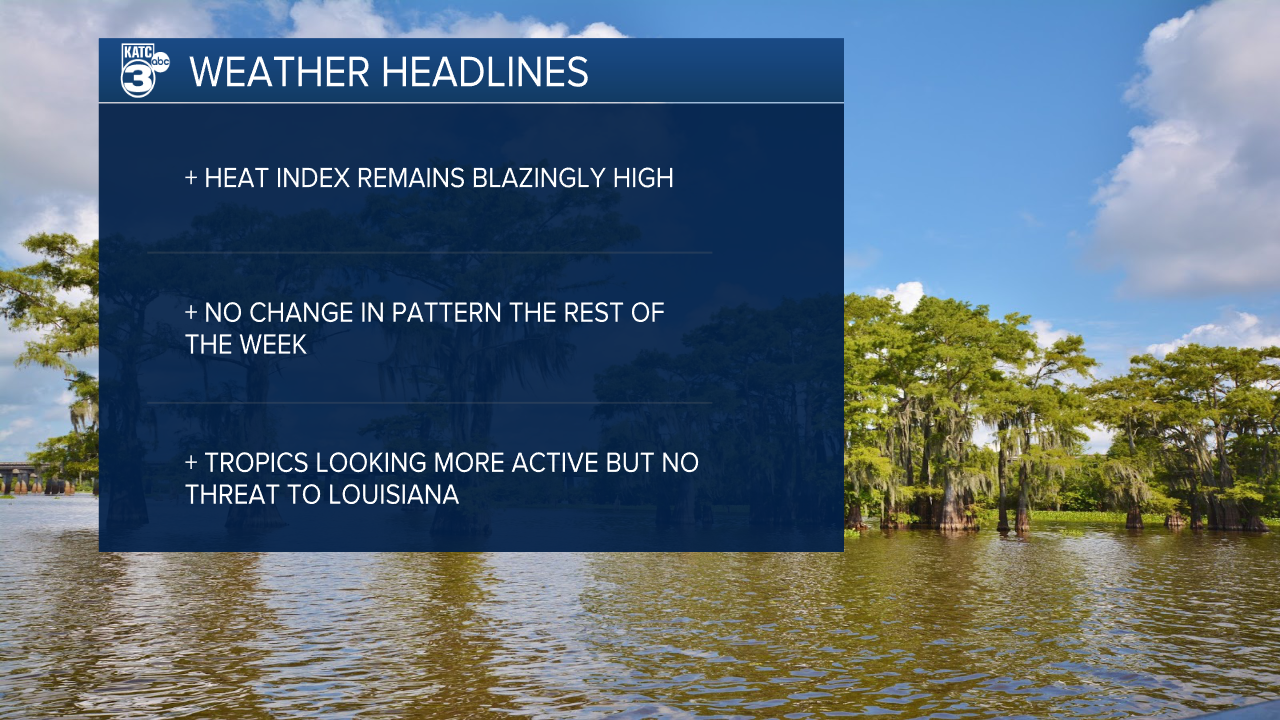
Folks we're in the middle of it.
A stretch of hot dry weather that's not going to offer much if any relief for at least the rest of the week.
Heat index values sat between 105-110 on Wednesday and that's right where we'll be headed again this afternoon.
Skies will remain sunny and while there were a few isolated showers yesterday there will be even less today.
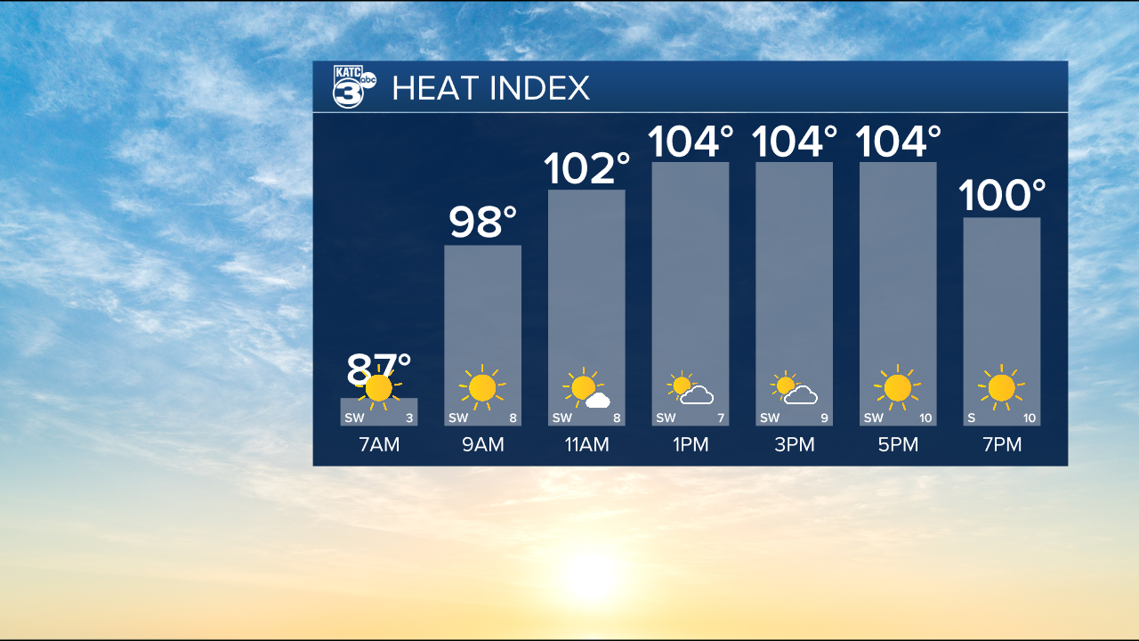
This is what the remainder of the week and weekend will look like as high pressure remains firmly in control.
While next week's forecast doesn't look much better we may see a return of some coastal showers at least.
Out in the Atlantic the 2026 Hurricane Season is showing signs of life with a couple waves showing signs they may develop.
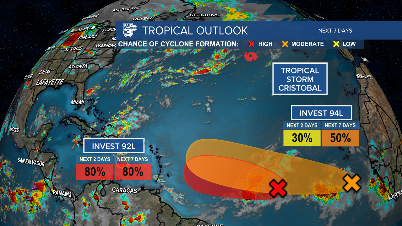
Apparently Cristobal formed on Wednesday briefly, it is now dissipated, so we may be seeing Dolly and Edouard soon.
Neither will threaten the continental U.S. as there's too much shear for anything to survive the Caribbean currently.
So for at least another week or two Louisiana will remain tropics free.
