

The chance of showers and thunderstorms will return to Acadiana as high pressure departs our area allowing for some additional moisture and instability to move in, creating and environment for scattered activity to return for the rest of the week.
Look for another hot day initially Wednesday, with highs in the low-mid 90s accompanied by heat indices in the 104-108° range, before clouds and scattered showers and storms move in from the east for the afternoon.
Scattered primarily daytime showers and storms will continue for Thursday through Saturday, but there is the chance a weak front moves into the area first enhancing our rain potential perhapsv Friday, but then could lower our rain chances, and perhaps humidity a little bit deeper into the weekend.
Thunderstorm activity will be the usual hit or miss with some areas generally seeing an inch or less over the next 72 hours whereas isolated areas could get a good soaking due to the randomness of storm development and placement.

After Wednesday, daytime highs should get closer to the 90° mark depending on the onset time of scattered showers and thunderstorms into the weekend.
Thereafter rain chances look to ease closer to July and August "normals", mostly in the 20-30% range Sunday into next week as highs creep back into the low-mid 90s
See the KATC 10 Day Forecast for the latest.
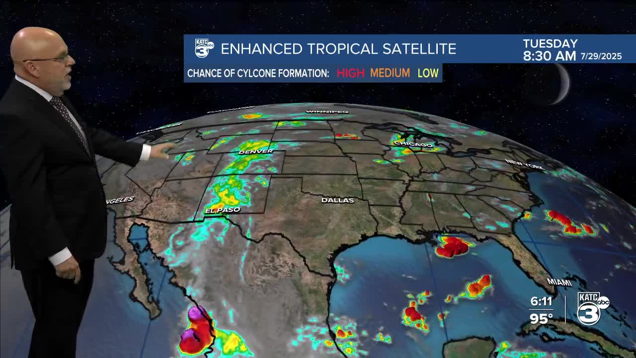
Meanwhile, in the tropics, the National Hurricane Center is indicating that there should be no tropical cyclone formation in the next 7 days.

The longer range, 2-3 week outlook begins to look more active. See the update below: '
