

Arthur, or the remnants of Arthur, has moved in to south Louisiana with the bulk of the heavy rain sticky so far to southeast Louisiana.
Intense rain moved through the Houma region in the early hours of Thursday, however, the most intense rain overnight stayed just offshore.
Models haven't handled this system particularly well and failed to see that heavy rain offshore which in turn lead them to buy into some extreme rain inland.
Ultimately that's a good thing, no one wanted to see some of the rain that had been forecast to come through.
Not to mention there have been some areas in south Louisiana that have approached a foot of rain in the last 24 hours.

There's still going to be some showers that pop up through Acadiana, some wrap around moisture could lead to a few decent downpours this morning.
Given the moisture that's still lingering around you could see some localized flooding, but it would be on a much smaller scale than initially believed.
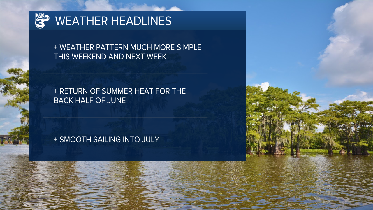
Rain chances will diminish through the back half of the day and by Friday morning we'll be back to our traditional summer pattern.

Highs will be returning to the 90s over the weekend and it looks like it's going to be hot through most of next week.
Rain chances are also expected to settle down and they'll by more of the pop up variety through the weekend and into the week.
