


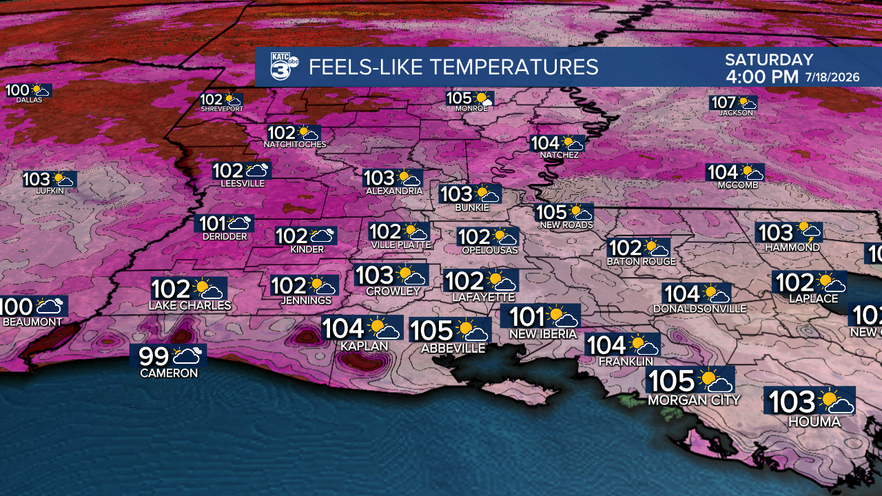
Hot summer weather is on tap for Acadiana with the heat and humidity approaching Heat Advisory criteria this weekend into early next week.
Meanwhile, the risk of development of an area of disturbed weather in the Eastern Gulf is increasing along with interests in Louisiana, and especially the marine/offshore industries...more on that later.
In the near term, look for hazy, hot and humid conditions for the area this weekend with highs in the mid-90s and heat index values rising to 103°-108° this weekend, and up to 108°-112 ° early next week.

Rain chances throughout the weekend into early next week look to be in the 5% or less rang through Tuesday.
Tropical moisture may begin to slide in from the east mid-late next week but that will hinge on possible tropical development.
The National Hurricane Center (NHC) increased the odds slightly for development in the Gulf today, and expanded the genesis area farther westward toward Louisiana into next week.
Per the NHC: "A large area of showers and thunderstorms over the eastern Gulf of America is associated with an upper-level low and a surface trough. Some gradual development of this system is possible while it meanders northward, bringing heavy rain to portions of the Florida west coast during the next several days."
It is too early to tell if and where this system may have direct impacts and at what intensity, but if the system gets close to Southern Louisiana it wouldn't be until about mid-next week.
At this point, it appears that an upper ridge of high pressure would shunt an potential system south of Louisiana, but that's not a guarantee.
It is however, a little unnerving that the GRAF Model wants to develop a tropical storm, and the one run here, a hurricane.

This is not official, just one computer model run, but when the GRAF Model speaks on the tropics we generally have to listen.
At least in the next week the Western Florida Panhandle could get some beneficial rains from this system.

It remains too early to even guess on how this plays out and where any land impacts may be, but offshore and marine interests need to pay attention to the forecasts this weekend.
If this disturbance would get a name, the next one on the list is "Bertha".
Currently we do not have a tropical system directly impacting the Acadiana area in the 10 Day forecast; but as always, this could be subject to change.
Lots of time to watch this, but please stay abreast of the forecast through the weekend.
