



Hazy, hot and humid conditions along with reduced rain chances are expected for Acadiana through the weekend and into early next week.
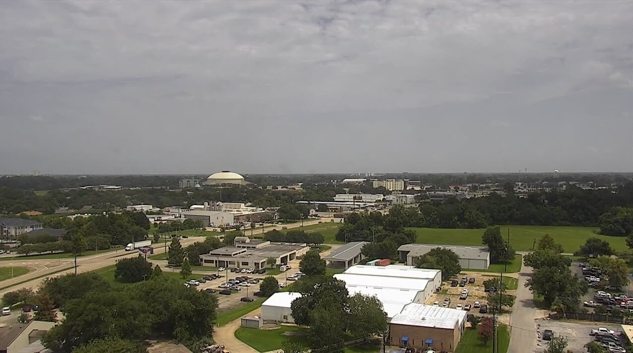
After the clouds thinned out Thursday, hazy skies emerged across the area thanks to a batch of African Dust centered in Southern Louisiana/Acadiana.
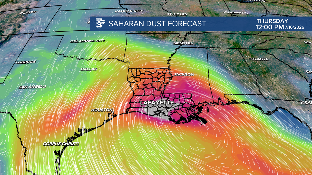
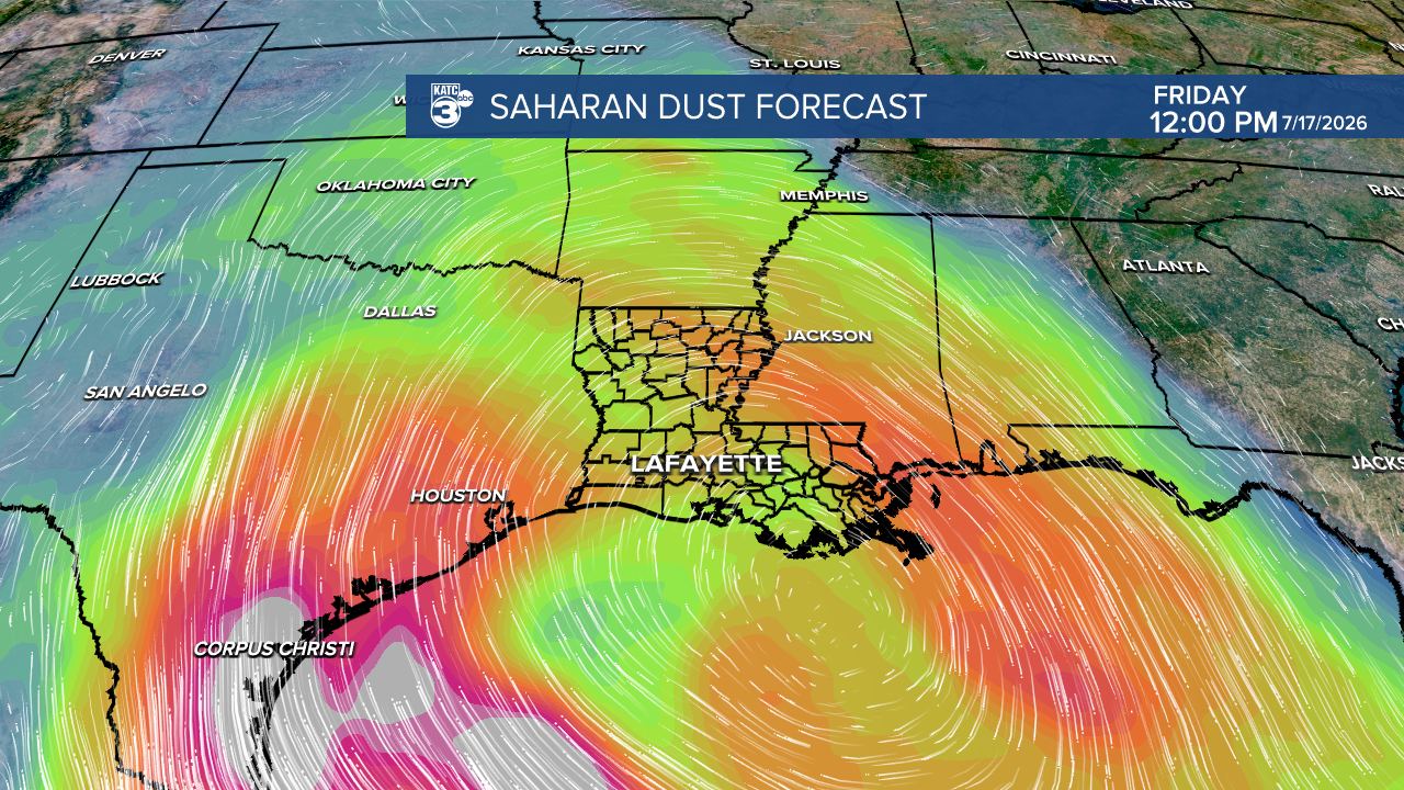
The dust will thin in the days ahead but skies will remain hazy and partly cloudy that will allow for our temperatures to begin approaching the mid-90s in the days ahead along with increasing heat indices.
Heat index values are expected to be near 102°-106° Friday and closer to 105°-110° later this weekend into early next week.
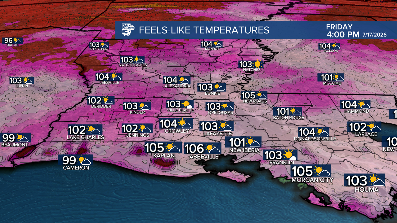
Rain chances will be near 20% or less Friday and drop to less than 10% this weekend through at least Monday.

Tropical moisture and increasing rain chances are anticipated to return mid-late next week.
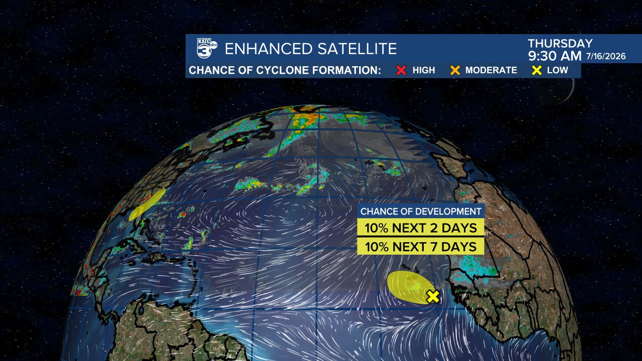
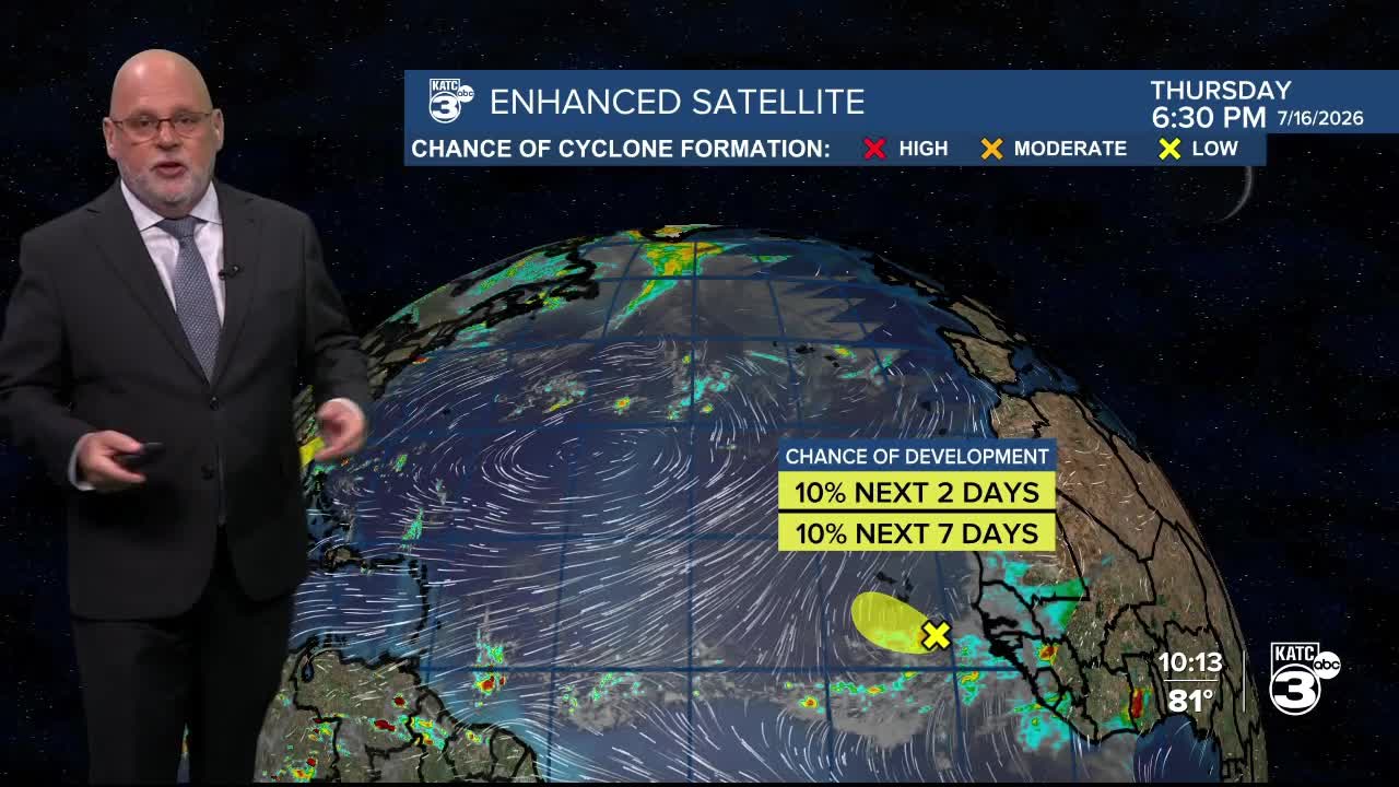
Meanwhile in the tropics, the NHC monitoring two areas in the Atlantic Basin: one by Africa that will be living on a prayer and zero concern there, while a weak area of low pressure could form in the Northeast/Eastern Gulf into this weekend.

This potentially wet weather system may bring some beneficial rains to portions of parched Florida (mainly on the Peninsula, but most heavier rains may stay offshore) and the disturbance is expected to eventually get absorbed by a frontal trough over the Southeast U.S. early next week...this will have no direct threat to Louisiana.

Deep tropical moisture however, looks to drift westward across the Gulf Coast next week as the frontal trough settles southward, likely bringing better rain chances to Louisiana and Acadiana mid-late next week.
See the KATC 10 Day Forecast for the latest.
