


After another chilly fall start for Acadiana Tuesday, look for temperatures to warm into the mid-70s for the afternoon with highs pushing back into the 80s later this week and into the weekend, before our next front arrives Sunday.

Lows Tuesday morning will be a degree or two milder than what the area saw Monday morning and we should all be out of any frost zones.

Climatologically speaking, Acadiana's first frost generally comes in the mid-latter part of November and/or early December depending on your local latitude below...so perhaps a week or two more before a front delivers chilly enough temperatures.

Weather-wise in the near term, look for plenty of sun Tuesday with a few daytime clouds starting Wednesday and for the rest of the week.

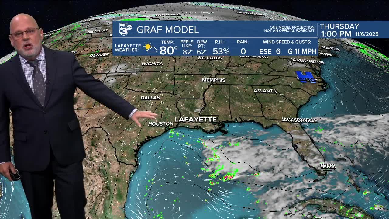
Temperatures will warm into the upper 70s to near 80 Wednesday and Thursday, and then on to the low-mid 80s for Friday and Saturday.

Our next front is scheduled to arrive Sunday morning with little or no fanfare.
Rain chances stay scant for the next week and a half with the 10% chance of an isolated shower possible Friday and perhaps Saturday, and near 10-20% for overnight Saturday and/or early Sunday morning as the next cool front passes through.
It will be briefly chilly behind the next front with current guidance shooting for a low around 40° for next Tuesday morning...which could be a couple of degrees cooler than this last front and may be pushing the risk for some frost (for one morning only) primarily for our northern parishes (where readings should drop into the mid-30s).
See the KATC 10 Day Forecast for the latest.
Looking at the the long range guidance trends, it still appears to become more favorable for rain and storms in the 15-16 day period...but that remains a meteorological stretch at this point.
