


After a frosty start to end the last day 2025, milder temperatures will return for the afternoon, and more than likely, the first week to 10 days of 2026.

A light freeze and frost is expected for most of Acadiana tonight/Wednesday morning with milder temperatures back to near the normal lower 60s accompanied by plentiful sunshine, for the afternoon.

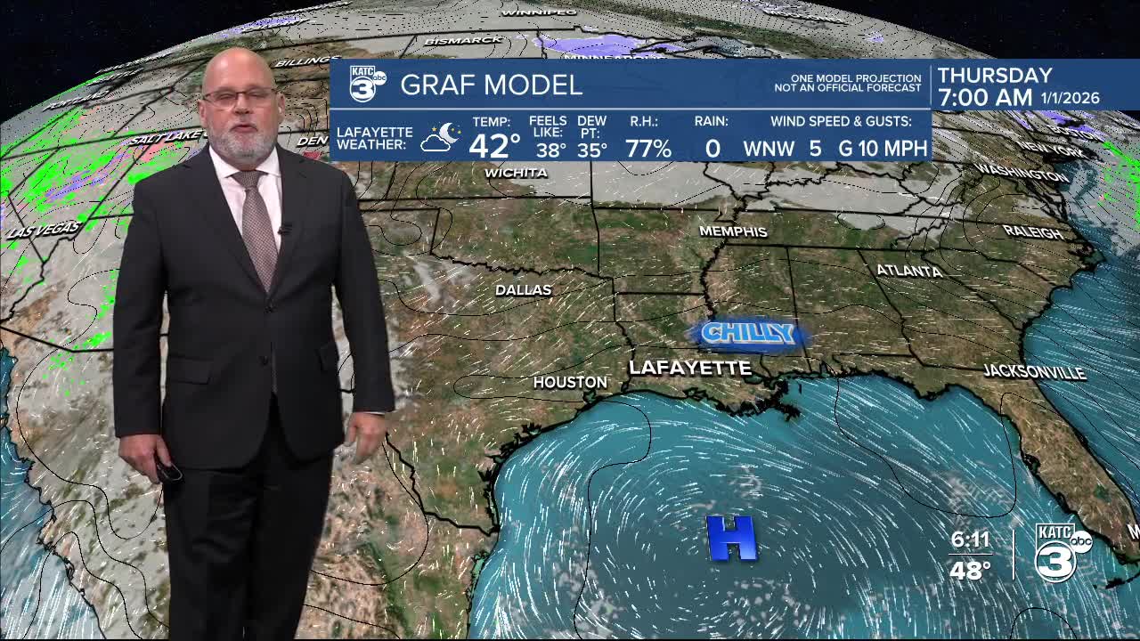
It will be chilly for New Year's eve, but not as cold, with lows closer to the upper 30s to lower 40s...temperatures at midnight in most spots will be near the lower 40s.

More sunshine and milder temperatures are in the forecast to start 2026 with highs reaching the lower 70s Thursday afternoon.

But wait, there's more...it will be breezy (westerly winds) and warmer Friday with highs reaching back into the mid-upper 70s ahead of a weak front that arrives by Saturday morning.

A few widely scattered showers may be possible Friday afternoon/night with rain chances tentatively set at 20% or less.
Look for slightly cooler, but above normal temperatures under fair to partly cloudy skies this weekend with highs reaching the upper 60s to lower 70s, while night-time lows drop back into the seasonable 40s.
Next week will likely continue to bring above normal temperatures with no additional freezes expected for the next 10-12 days, but we may, and climatologically-speaking, should see a pattern later this month.
For now, consult the KATC 10 Day Forecast for the latest.
