


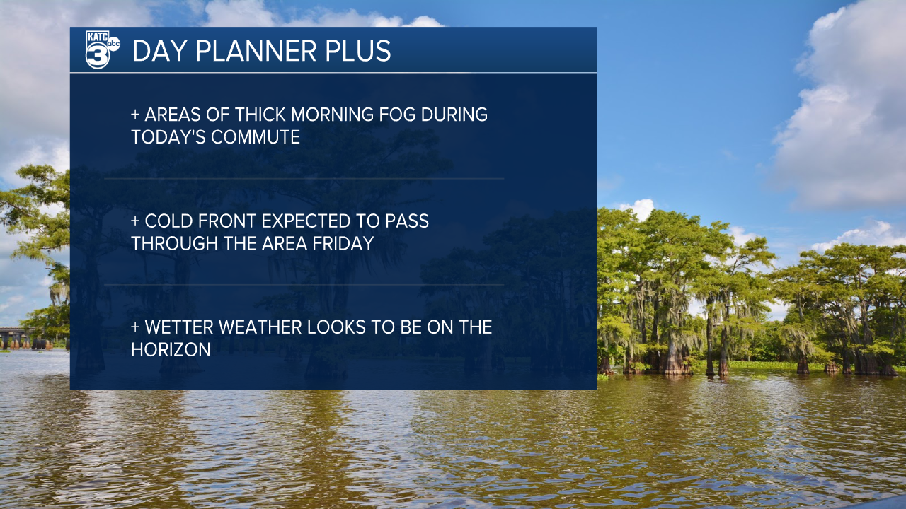
It's another foggy start to your day with visibility sitting below a mile in some areas and a Dense Fog Advisory has been issued until 10:00 a.m.
Similar to yesterday, however, fog should burn up by mid morning and the rest of the day is looking pleasant.
We'll continue our exceptional warm streak with highs in the low 80s once again as winds continue to push in from the south.

The forecast isn't expected to change much for Friday, we'll likely wake up to a little fog and temperatures will once again sit in the low 80s.
There is some slight change on the way, however, with a front moving through in the evening which will help drop temperatures down in the mid 50s by Saturday morning.
A much cooler day is expected on Saturday, highs will stay in the low 70s, as gusty dry winds drive some air in from the north.
Given how dry it's been lately there will be an increase in fire danger on Saturday and it wouldn't be surprising to see a Red Flag Warning get posted.

There does seem to be some relief on that front with a more unsettled pattern moving in for the start of April.
Scattered showers and storms will become more common next week, and while storms don't look overly organized currently we'll have daily rain chances starting Monday.
As of now it doesn't look like we'll get any severe weather next week, but it won't be shocking to see some thunderstorms develop.
The further we get into spring the further we'll get into our storm season and we'll need to be more mindful of severe potential.
