


Tuesday's forecast looks almost identical to Monday with another round of spotty showers possible through the day.
Temperatures are going to be back in the upper 80s with a heat index likely running a little warmer.
We've got lows that will again be down in the low to mid 70s by Wednesday morning, and Wednesday will get off to a sticky start.
The good news is that there's a break in the pattern arriving Wednesday evening and we'll finally get an extended bit of fall weather.

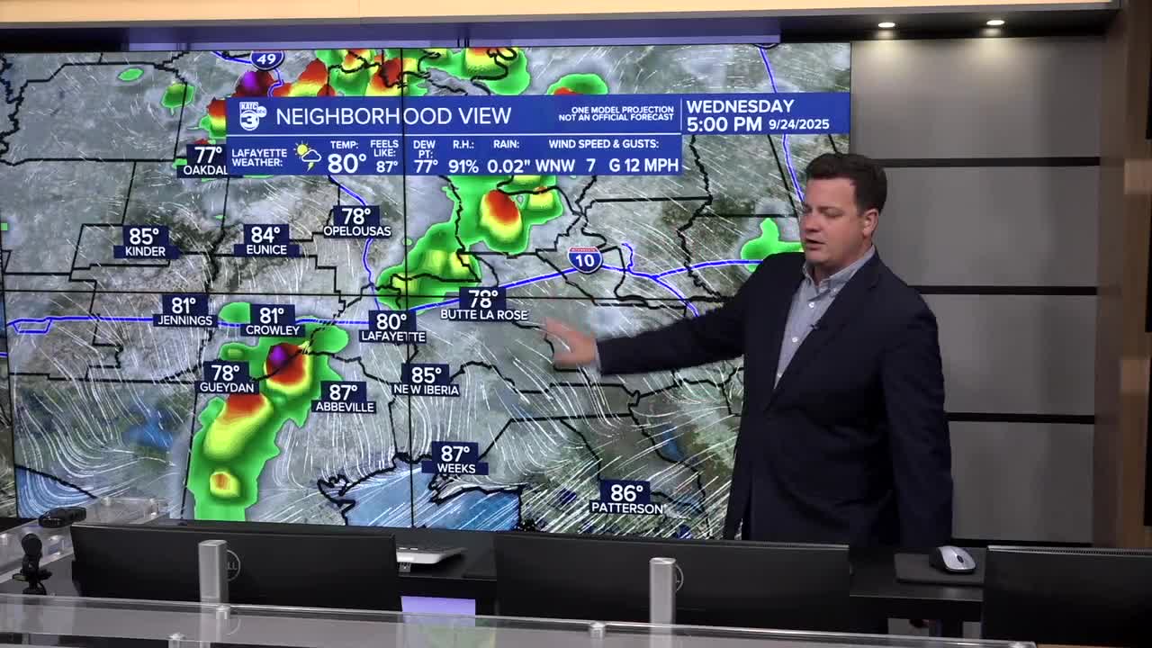
A front is going to move through Wednesday evening and bringing some steady rain along with it, something Acadiana could use.
Rain totals will be between an inch or two and during some of the heavier downpours we may need to watch for some localized street flooding.
Showers aren't expected to arrive until the late afternoon/evening and will persist on an off into the over night hours.
The front should clear the area Thursday morning taking the rain along with it, and clouds slowly clearing through the day.

Cooler weather will arrive by Friday morning with temperatures dropping into the mid and upper 60s Friday morning and highs consistently staying in the 80s into the weekend.
While the afternoons will still be warm the lack of humidity will keep the days pleasant and this time we'll likely see the temperatures stick around for more than a day or two.
After a long hot summer it feels nice to say fall has finally arrived.
