


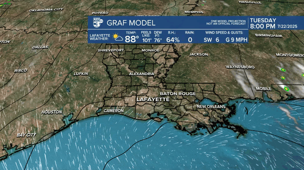
After Acadiana experiences another partly cloudy and hot one Wednesday, a disturbance approaching from the east should change the pattern to mostly cloudy and a little stormy.

A Heat Advisory is in place again for our Wednesday as temperatures soar into the mid-90s while heat indices top out in the 105-111° range.

Like the last couple of days, there will be a few isolated showers and possibly a few stronger thunderstorms for the afternoon, but our rain chances should be no higher than 20-30%.
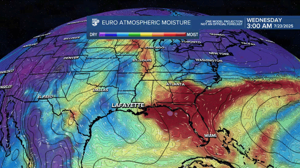
Meanwhile, Acadiana's next weather-maker will come in the form of another westward traveling disturbance/surface trough across the northern Gulf, that should deliver enhanced rain chances to to the area Thursday into Friday.
Most of the deeper moisture and heavy rains may stay offshore with this one, but rain chances in the 60-80% range or higher, will be likely for our area late Thursday into Friday...maybe into Saturday.
Most model and supporting data indicates that flooding shouldn't be a big concern with this one, and may be similar to, or possibly less than, what we saw last week, but will continue to evaluate the data moving forward.

The latest latest Euro Model Ensemble forecast has been trending to a 50/50 chance of the disturbance becoming a tropical depression, but this shouldn't change our inland weather either way, but a head's up for offshore interests just in case.

Scattered showers and thunderstorms will stay for us into the weekend with odds of getting wet gradually decreasing into next week.
Farther down the road, next week looks like another typical summer week with hot and humid conditions accompanied by the chance of a few afternoon showers and/or thunderstorms
See the KATC 10 Day Forecast for the latest.
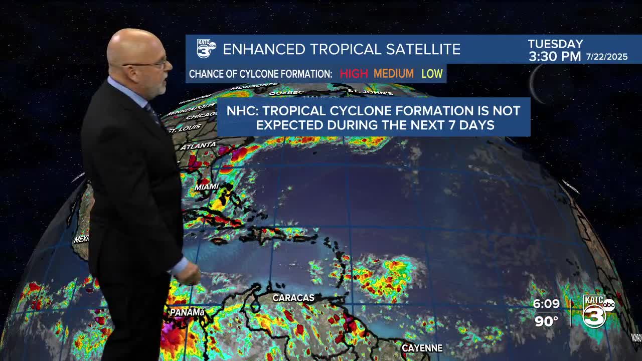
Meanwhile in the tropics, the NHC has dropped the disturbance east of the Easter Caribbean as a system to monitor...

But, they may have to comment on our next Northern Gulf disturbance at some point tomorrow and/or Thursday as there should some weak low pressure and potentially low potential for depression development Thursday into Friday.
