


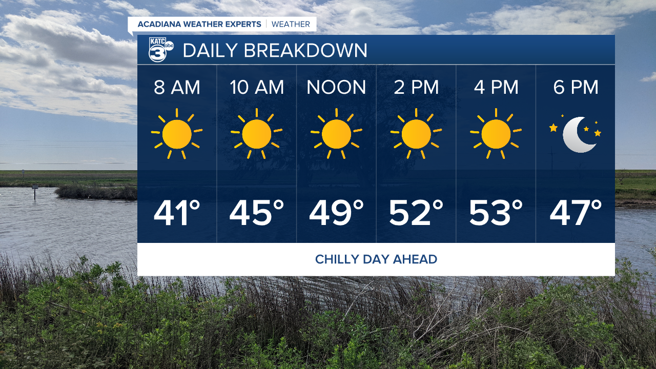
Temperatures are the big story here in Acadiana this weekend and we'll be getting our first taste of it Thursday.
A cold start to the day with wind chill values in the upper 20s and low 30s will eventually give way to highs remaining in the low 50s.
Winds will be calming through the course of the day which will help keep the wind chill in check later tonight as temperatures dip back into the upper 30s
We'll briefly warm up on Friday before temperatures come crashing back down again over the weekend.
Clouds will move in on Saturday as another front passes and we'll be looking at freezing conditions overnight Saturday.
The big question remains what kind of moisture will be lingering around as that cold air moves in to the region.
I've seen all of the social media posts, and I've seen the GFS runs but I have a hard time believing we catch any frozen precipitation.
It doesn't seem like the air is cold enough to really get things going, and most models force the moisture down into the Gulf.
This seems to be more favorable for areas well to our east with some flurries more likely over the Florida panhandle than Acadiana.
