


Despite the fact that it's a clear sunny day to start the week there's still plenty to talk about regarding Monday's forecast.
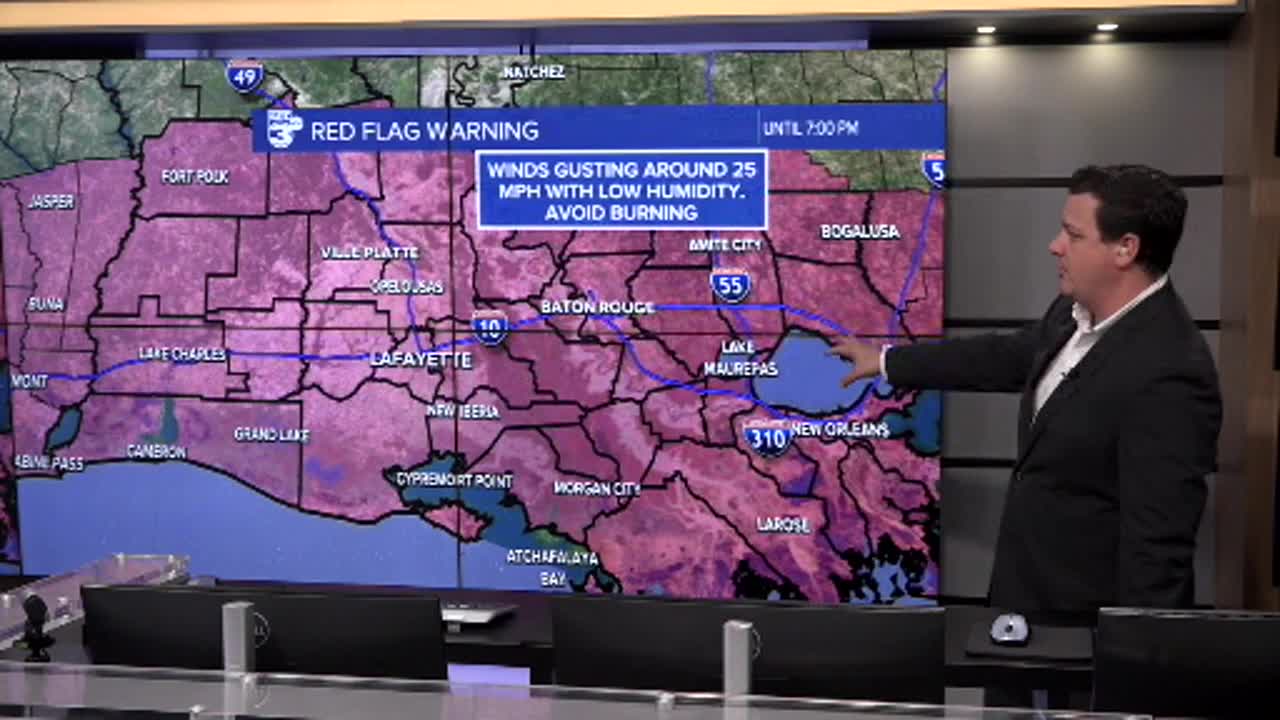
We can start with the Red Flag Warning which has been issued for the day, the result of strong, gusty winds, dry vegetation, and humidity that has dropped below 20%.
Avoid burning as the risk for fire danger will be high through the day, and remember to respect all active burn bans.

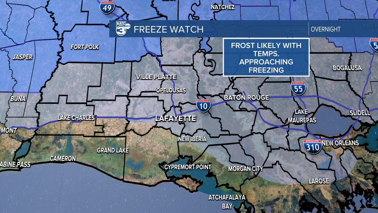
Winds will be brisk and coming in from the north which will keep temperatures in the mid 50s for the highs, but will calm in time to allow the first possible freeze of the season.
Temperatures across Acadiana are expected to plummet tonight with lows likely getting down to the freezing mark by Tuesday morning.
Tender vegetation will need to be taken care of and pets brought inside, however, pipes will be fine.
There will be a steady warm up through the week and we'll be back into the 70s and 50s by the end of the week so this cold snap isn't expected to linger around.
Most of the week looks dry, however, there does seem to be a series of storm systems that could start rolling through by the weekend into next week.
