


Over the weekend, we finally saw the end to some of the big rains we experienced last week. This trend will generally continue through the week. A ridge of high pressure to the east and a trough over the west will continue to funnel moisture over the region, but the atmosphere will be considerably more stable.
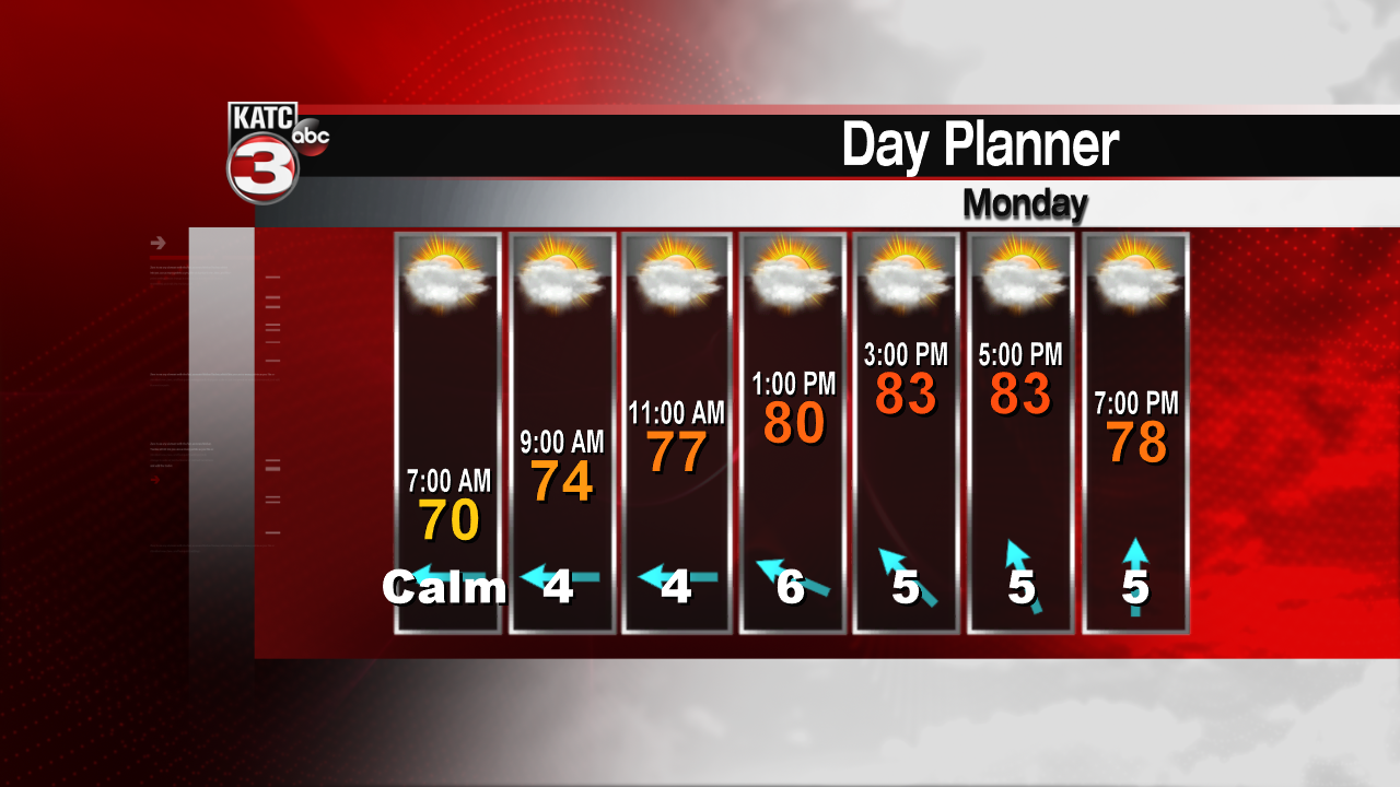
Temperatures will remain mild to warm for the week. As we finish the month of May, our normal highs should be approaching 90 more often. But this week we should see considerable cloudiness, keeping the temperatures in the mid 80s. Only isolated, pop up type of showers and thunderstorms are expected this week.

This pattern should hold into the early part of the weekend. A bit of a trough could bring slightly higher rain chances toward the back half of the weekend.
A little tropical weather spinning up this weekend. Ana has been downgraded and is now a non-tropical low pressure area. No other tropical weather is expected to develop over the next several days. Hurricane season officially begins June 1.
