


There's increasingly less to say about the weather that we don't already know.
The forecast has remained pretty much unchanged since the weekend with warm, muggy conditions hanging on for one more day and dry air arriving right on schedule.
Until we get to the good stuff we've got another round of 90 degree weather with some lingering moisture on Wednesday.
We could get a very brief, very isolated shower in the afternoon but any wet weather will be few and far between.
Lows tonight will likely stay in the 70s but that will be the last time the low stays that warm for a little while.

Humidity is set to drop on Thursday as dry air move into the region and takes firm control of the forecast.
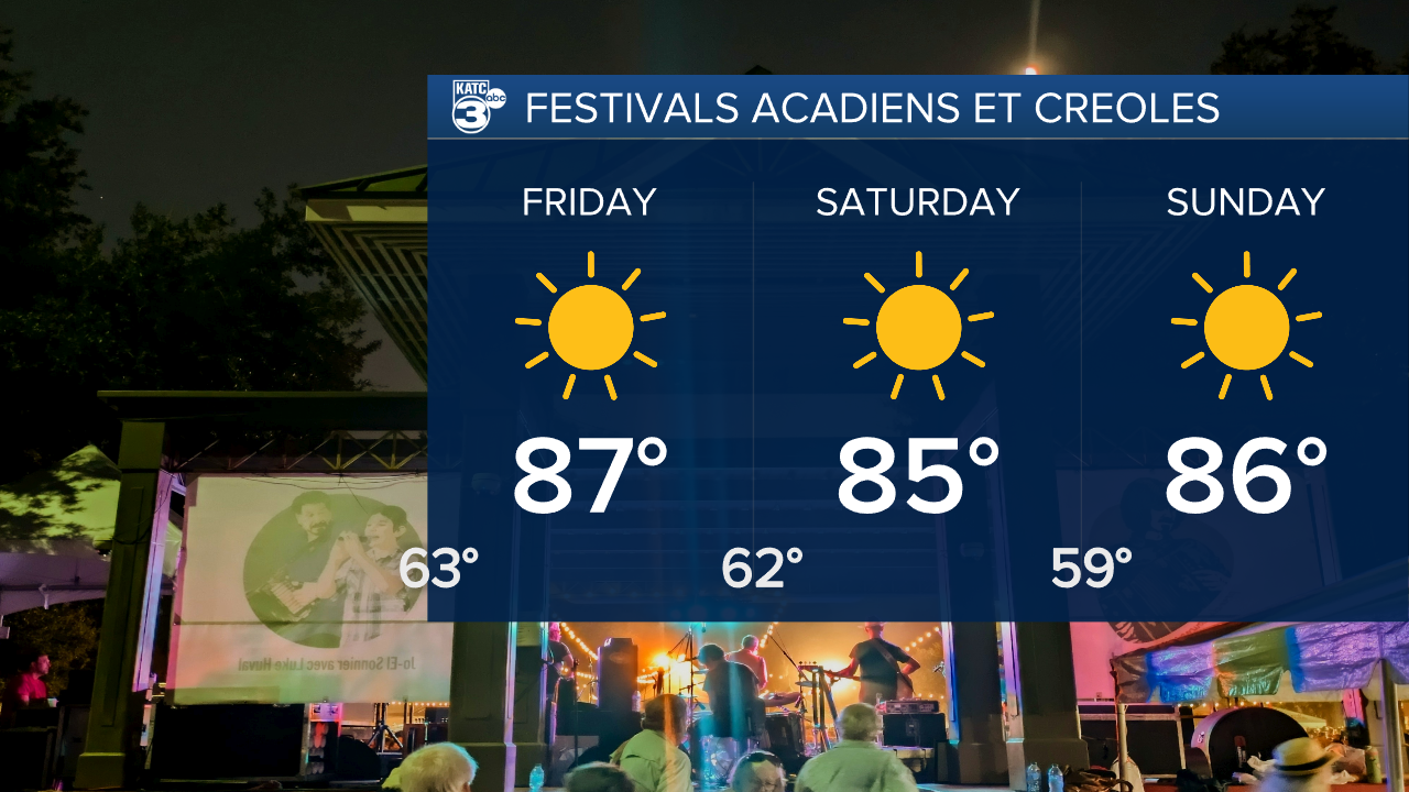
This will really be felt in those evening temperatures with lows consistently down in the low 60s to upper 50s.
Highs headed into the weekend will stall in the mid 80s and we'll get plenty in the way of sunshine.
This is set to continue through Festivals Acadiens et Creoles and even into next work week.
There is going to be an increase in fire danger as the dry air lingers, and with winds picking up toward the weekend please be very cautious with any flames.
Drought will continue to worsen as there's no real rain chances in the foreseeable future as we get ready to enter a dry period in Acadiana.
