

Drier days are ahead for Acadiana over the next week as high pressure takes charge, and will allow for hotter summer temperatures to take hold for a while.

As high pressure aloft and the surface builds in the wake of our very wet and unsettled pattern, Acadiana will see more sunshine and consequently hotter temperatures for at least the next week.

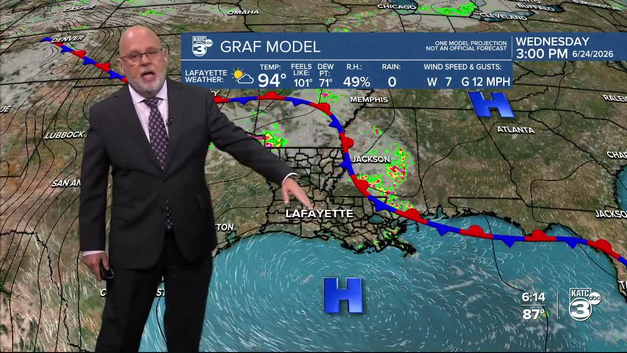
Rain chances will drop to 10% or less, and some days it will be 5% or less over the next week.

Other than a very isolated pop-shower, most shower and thunderstorm activity will refocus along a frontal boundary that has drifted to the north.
Some of that activity may slip southeastward in the afternoons but should weaken or dissipate before reaching Acadiana, thus the very low rain chances on any given day through the weekend.

Daytime highs will rise into the low to mid 90s this week while maximum heat indices stay planted in the 102-108° range.

Overnight/morning lows will stay in the steamy mid-upper 70s.
We may see a disturbance rolling around the upper ridge and perhaps move in from the east mid-next week, which could produce a temporary bump in our rain chances.
See the KATC 10 Day Forecast for the latest.
