

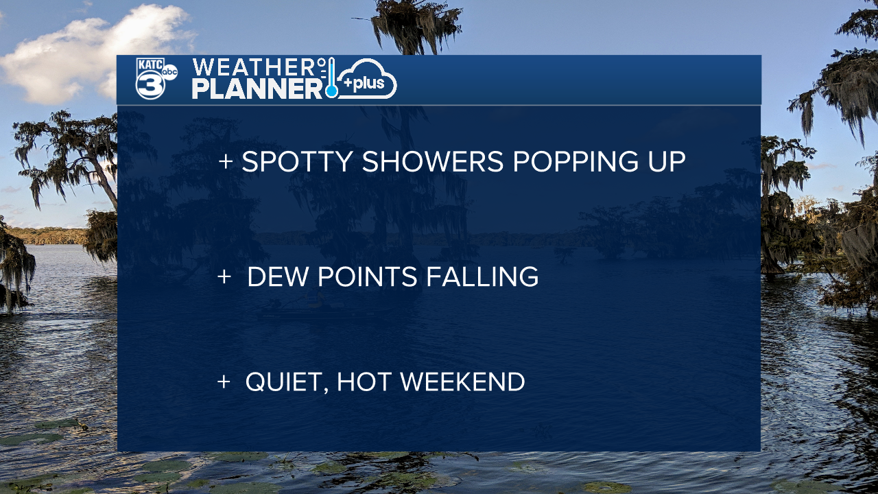
A long talked about front is dropping into Acadiana on Wednesday, sparking up some showers through the first half of the day.
Showers will be fairly scattered and popping up mostly along and south of I-10 along with a few rumbles of thunder.
Most of the rain can be expected through the first half of the day and we'll see some sunshine poking through the clouds by the afternoon.
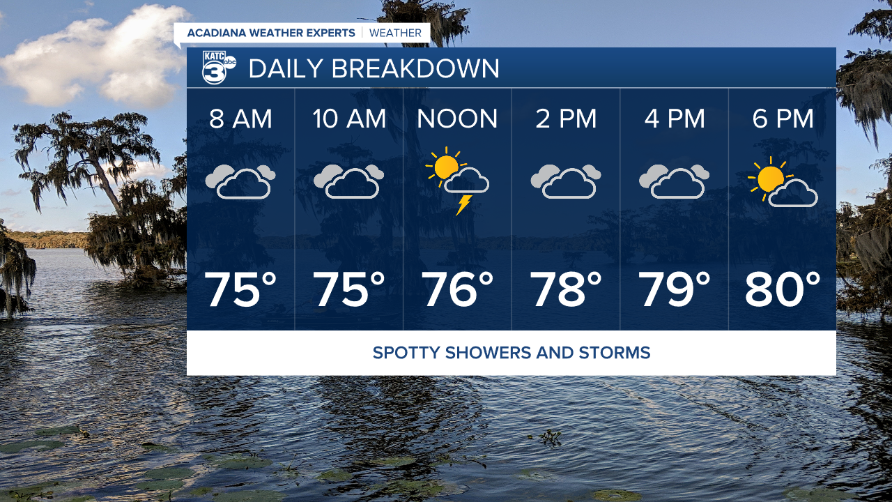
Temperatures will try and get into the mid 80s but with the extended cloud cover it should feel a little cooler.
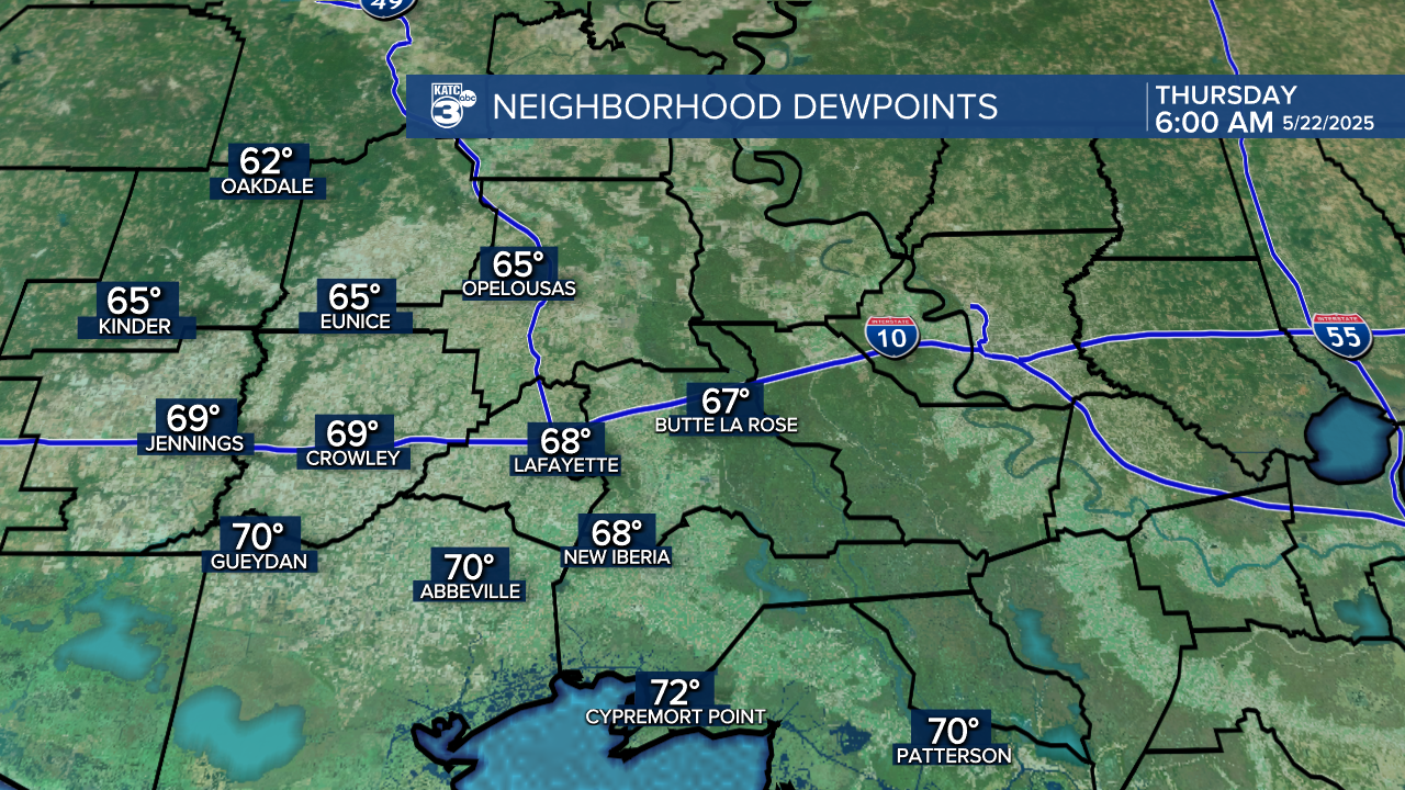
We may not be seeing the colder temperatures working down into the area but we will get some drier air.
Dewpoints are expected to drop through the night and it should be fairly comfortable Thursday morning.
Lows are looking to be right around 70 by daybreak Thursday.
The forecast will settle down for the last few days of the work week with sunshine returning along with the heat.
Look for the highs to be back in the 90s headed into the weekend where they'll remain through the holiday.
Showers will return next week with an unsettled pattern bringing rain chances almost every day next week.
