


The last bits of the front are hanging around down along the coast early Thursday morning, providing some solid rain to some of our coastal areas.
As the front remains stalled there through the morning we could continue to see a scattering of coastal showers through mid-morning when things will finally come to an end.
Clouds will take a little longer to clear out and it won't be until later in the afternoon that we could start to see a bit more sunshine.
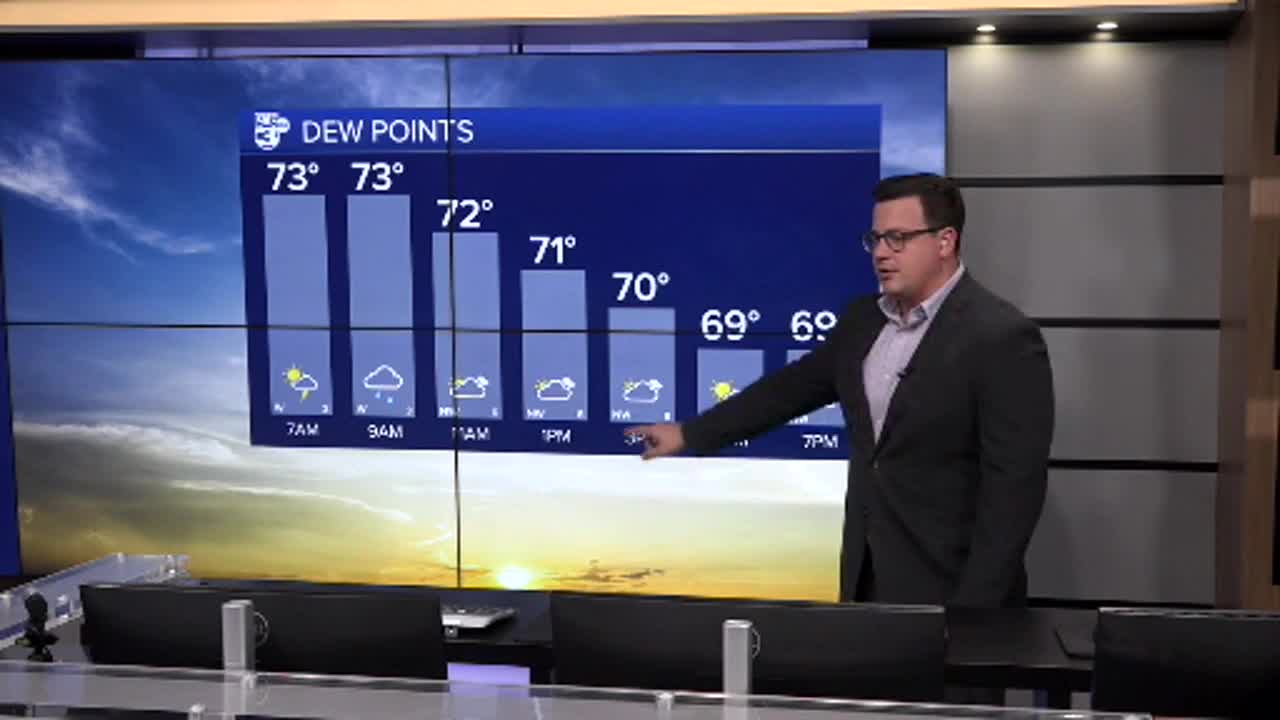
A steady breeze from the north will filter down that drier air which will take over during the evening and temperatures will be allowed to drop down into the 60s.

This will start a string of morning that will be in the low to mid 60s that will last through the weekend an on into next week.
We'll still have warm afternoons with mid 80s over the weekend and eventually upper 80s during the work week, however, the dry air looks to stick around which will keep things much more comfortable.
I think it's safe to say that fall has arrived.
