

Most of Acadiana was able to avoid the storminess that moved across northern and central Louisiana Sunday afternoon and evening. As one system pushes eastward, another ripple of energy is forecast to move over the area bringing another chance for rain and storms tonight.
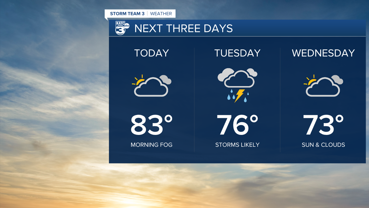
A frontal boundary in place across Louisiana that caused the storms Sunday, will stay in place today. The next upper disturbance is expected to push in this evening. Skies should stay generally cloudy, with some peeks of sunshine. Temperatures will start in the 60s and 70s, with highs today in the lower 80s. Winds will be light out of the northeast.

Some showers are possible by late this afternoon, but much of the rain will be developing overnight as the upper disturbance moves across the area. At this time severe weather doesn't seem to be a threat, but a few locations could pick up significant rainfall totals of 1-2 inches before rains end Tuesday evening. Tuesday's temperatures will hold in the mid 70s for highs.

Wednesday and Thursday look relatively quiet with slightly cooler temperatures. Morning lows will drop into the 50s, with highs in the mid 70s.

By Friday, moisture returns in the form of cloudiness, and more unsettled weather is expected for the weekend with some scattered showers returning Saturday and Sunday.
