


After a chilly night/morning Acadiana will see milder conditions for our Thursday afternoon, with above normal temperatures very likely for the first week to 10 days of the new year.

In the near term for our New Year's Eve, temperatures will hover in the low-mid 40s around midnight, and bottom out in the mid-upper 30s before daybreak Thursday.

It will warm up nicely for our New Year's Day with highs pushing the 70° mark courtesy of breezy west to southwest winds!

It will be milder with Gulf dampness returning Thursday night into Friday morning as temperatures hold in the 50s and may rise toward the lower 60s at daybreak.

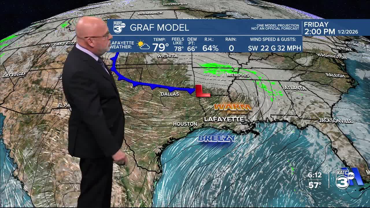
It will be breezy and warm Friday with highs pushing the mid-upper 70s ahead of a "cool" front that arrives predawn Saturday.

A few isolated pop-showers might be possible Friday into Friday night but chances of any measurable precipitation should be 20% or less.
Behind the cool front, looks for seasonable temperatures this weekend with highs generally in the mid-upper 60s and lows in the 40s.

The upper and surface pattern looks to keep our temperatures some 10-15° above normal for much of next week, but it appears that a better chance of scattered showers will develop toward the end of the week and preceding another possible front, that that may arrive by the end of the week, or into the following weekend.
See the KATC 10 Day Forecast for the latest.
