


Full summer heat and humidity will be on display in Acadiana into the 4th of July weekend, with a better chance of afternoon storms returning Sunday into next week.

Weak high pressure aloft combined with some Saharan dust will keep it hazy, hot and humid for Acadiana...and with a more northerly winds developing this week, we could see temperatures rise into the mid-upper 90s into the front end of the weekend.
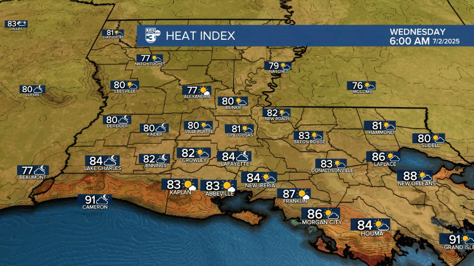
Look for highs Wednesday to push the mid-90s with heat indices creeping up into the 102-107° range.

There looks to be a slight risk of some thunderstorms primarily late afternoon into the early evening Wednesday with rain chances for most in the 30% range.
Thursday, the 4th and Saturday look be be quite hot with highs reaching the mid- to perhaps upper 90s while the chance of a cooling afternoon storm looks to be in the 20% range.
By Sunday, a weakness and or very weak upper low will drift into the region from the east which should allow for a better chance of scattered afternoon showers and thunderstorms, with a similar pattern continuing into next week.
There's a little action in the tropics, but nothing to worry about for Louisiana at this time.
See the tropical outlook below:
