
After a long stretch of freezing temperatures, we're finally getting a bit of a break tonight! While it’ll still be chilly in the upper 30s to low 40s, it’s definitely an improvement.

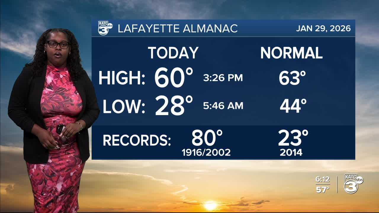
A strong cold front arrives tomorrow morning, leading to highs only in the 50s by the afternoon.

No rain is expected with this front, as the bulk of the moisture stays over the Gulf. However, the arctic air will settle in, sending nighttime temperatures plummeting into the 20s. A hard freeze is likely each night through Monday morning.

Saturday night is shaping up to be the coldest, with lows plunging into the teens and twenties! Much of the country will be feeling the chill and breezy.

A COLD WEATHER ADVISORY will be in effect for Acadiana due to wind chills as low as 12°.

Saturday will be the coldest day, with highs only reaching the upper 30s to low 40s along the coast.


Follow Meteorologist Breyanna Lewis for further updates.
See the KATC 10 Day Forecast for the latest.
