


Acadiana's weather will continue to see a changeable temperature pattern with a cold front on the way Wednesday and yet another one later Friday.

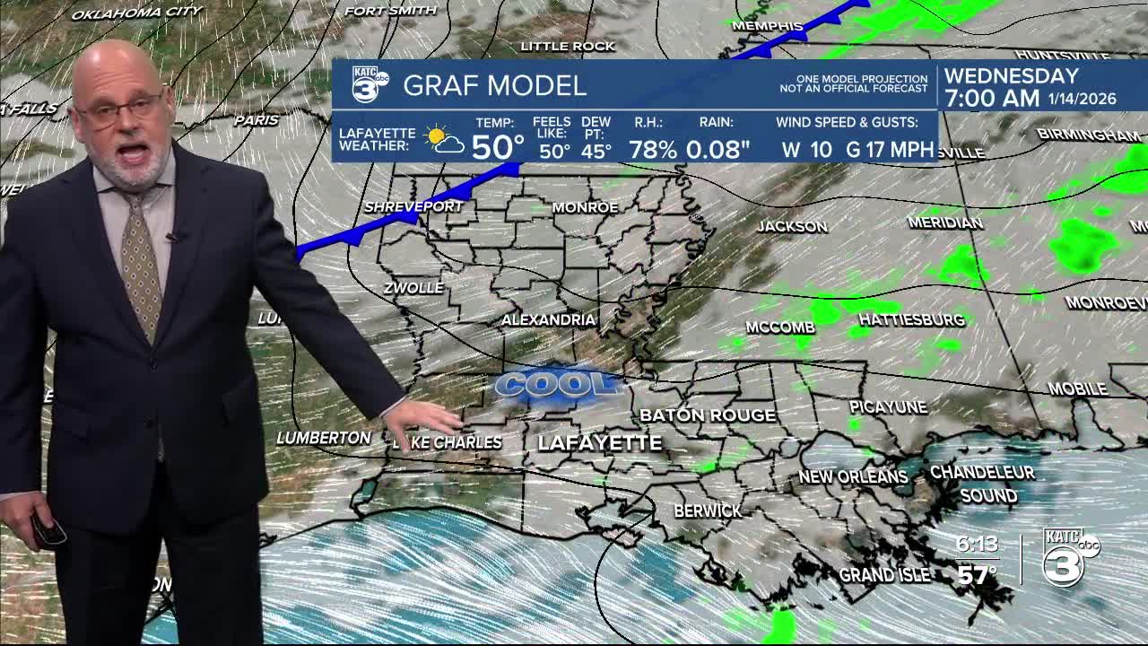
In the near term, it will be not as cool for the area tonight with lows in the 40s and scattered light showers possible as milder & more moist atmosphere returns overnight ahead of our next cold front Wednesday.
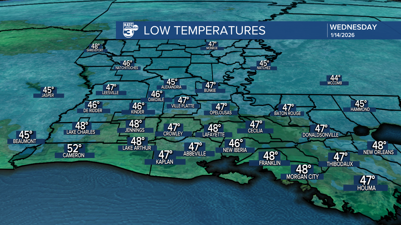
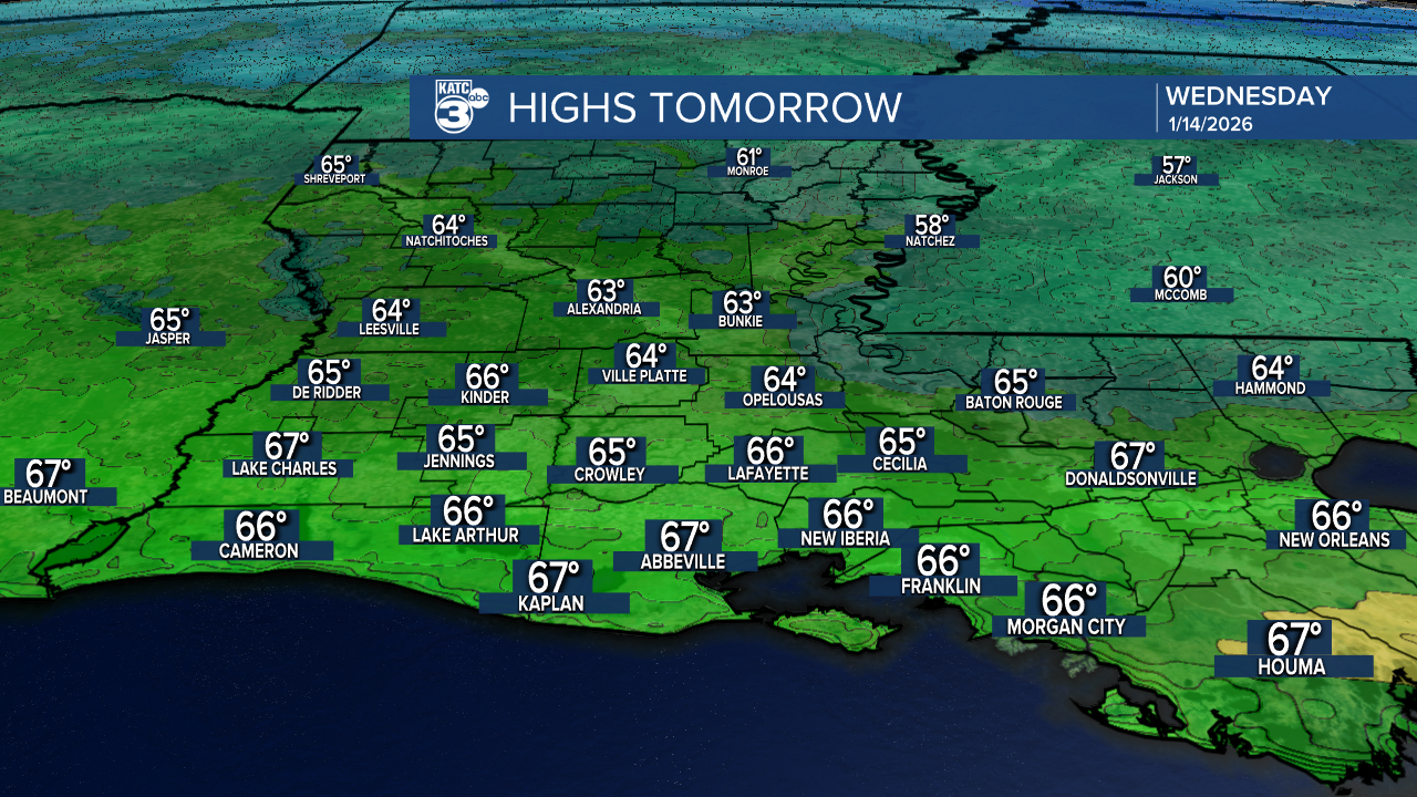
Partly sunny and milder conditions into the mid-60s are expected through midday Thursday, but a relatively dry cold front brings breezy and cooler conditions for the afternoon, with our temperatures dropping back down into the low-mid 30s Thursday morning...wind chills Thursday morning in the 20s!
It will be sunny and quite chilly Thursday as temperatures struggle to make 50°, but we should warm back into the lower 70s Friday, before yet another front Friday night cools us back down for the weekend!
The weekend looks cool but not necessarily completely dry...there could be some limited shower activity in the area Saturday, but we're holding rain chances near the 20% range.
Highs this weekend will be in the mid-50s while night time/morning lows drop into the lower 30s with one or two light freezes possible Saturday and Sunday nights.
Next week looks to stay cool, with some rain chances developing for the mid-latter part of the week,
See the KATC 10 Day Forecast for the latest.
