Acadiana will continue to enjoy perfect spring weather for a couple of more days marked by seasonably cool nights and sunny and mild afternoons, but our next front arriving this weekend will produce rain chances and make for rather drastic temperature changes.
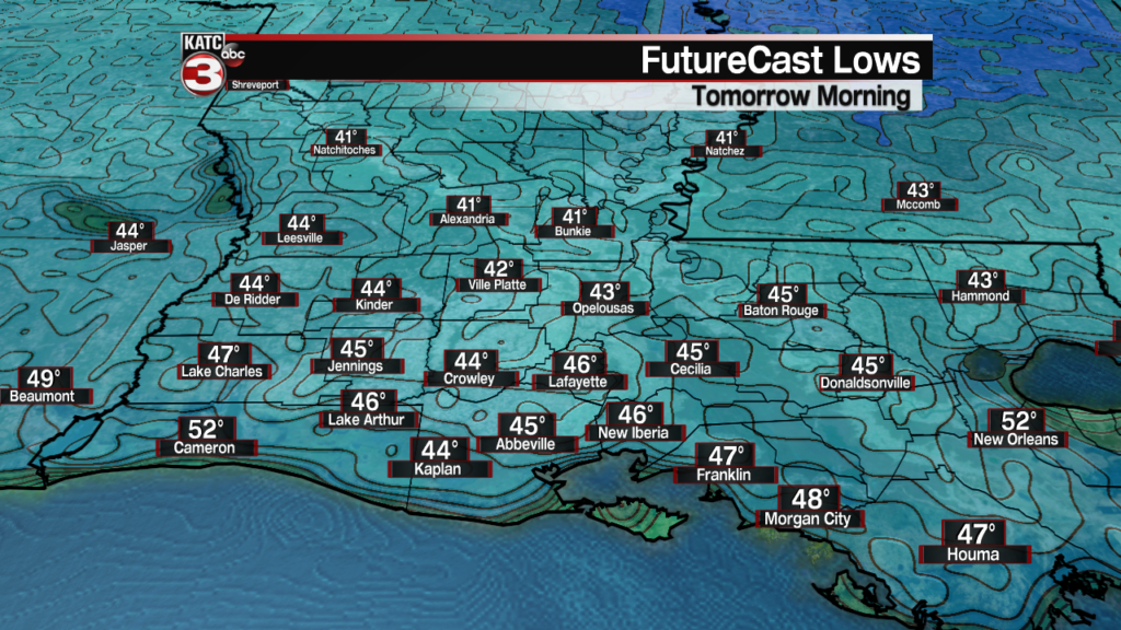
In the near term, expect crystal clear skies into Tuesday night and chilly temperatures dropping into the low-mid 40s by morning.
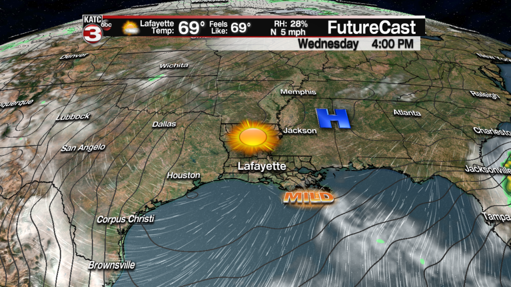
High pressure will stay in charge Wednesday allowing for sunny skies and temperatures warming nicely again into the low to mid 70s for the afternoon.
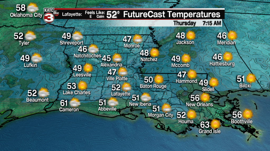
Expect another nice and cool Wednesday night/Thursday morning with lows closer to the upper 40s to lower 50s.
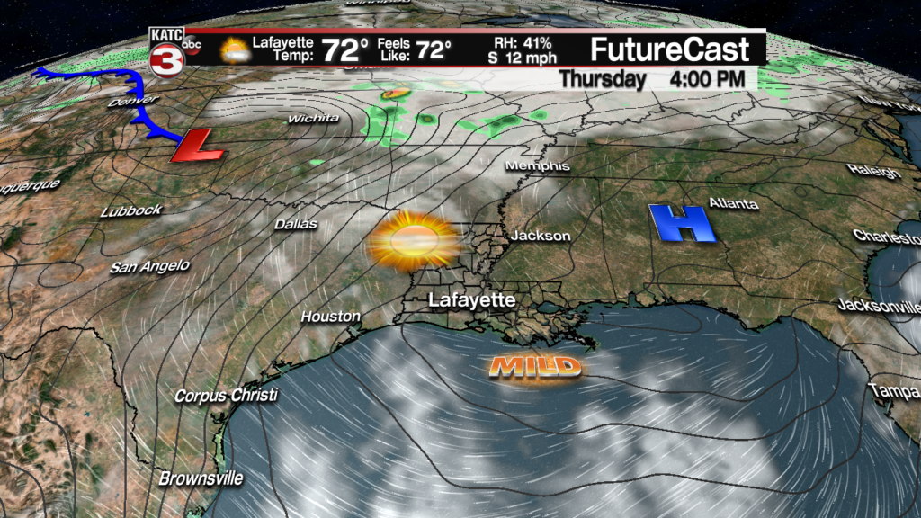
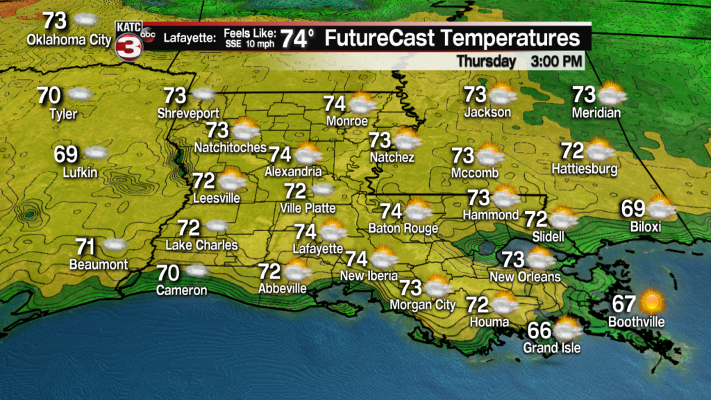
Mostly sunny skies and milder temperatures area expected Thursday with highs pushing into the mid-70s.
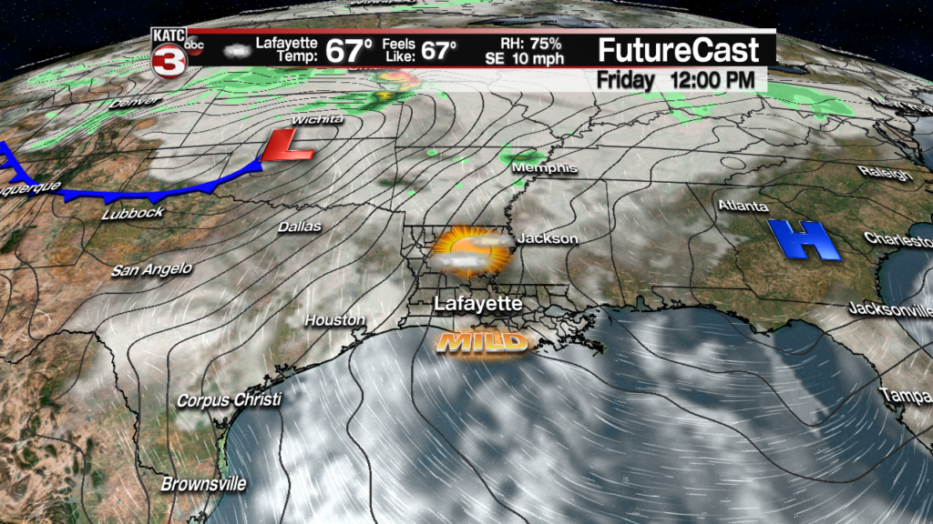
Changes will arrive Friday as southerly winds reestablish across the region with increased cloud cover and the slight chance (20%) of a few quick-passing showers.
A cool front will be advancing toward Acadiana by Saturday evening and should generate some showers, and possibly a few thunderstorms into Saturday afternoon/evening.

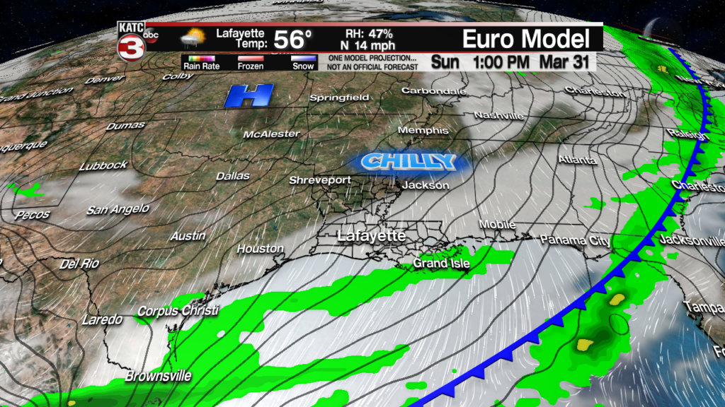
Temperatures Saturday will top out near 80 but will turn sharply cooler and rather breezy into Sunday with highs struggling to get out of the 50s.
Rain chances for now will be near 40% Saturday, near 60% Saturday evening/night and 40% mainly early Sunday.
Overall, the model trends appear to be lessening the coverage and intensity of rainfall this weekend but continue to disagree on timing and placement of best rains.
The weekend forecast will likely change more before the week is done so consult the 10 Day Forecast for the latest.
Moving into next week look for some nice and chilly weather early in the week to quickly yield to milder temperatures by midweek.
Clouds and showers could return to the area as early as next Thursday.
Observational Note Tuesday:
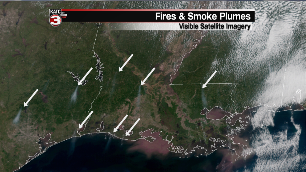
A number of fires were spotted on satellite imagery from Texas to Louisiana Tuesday afternoon, with a couple of the plumes in the coastal marshes showing up nicely.
Per the Spot Forecast Monitor none of the fires in Louisiana are prescribed burns, but are most likely private burns.