
Acadiana will get to enjoy another round of pleasant, seasonably cool, early spring weather over the next few days following Monday’s cool front.
In the near term, showers and storms will advance into the Gulf of Mexico early Monday evening with fair to partly cloudy skies to follow along with a fresh northerly breeze developing after midnight.
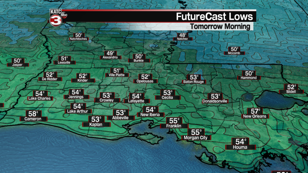
Temperatures by morning will be in the low to mid 50s.
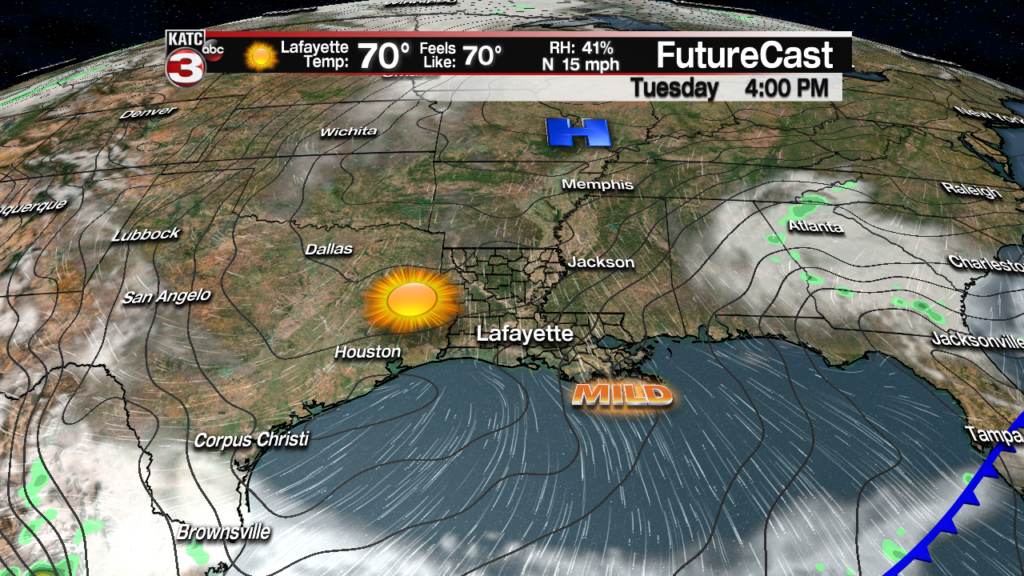
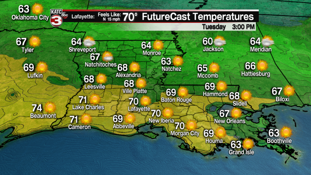
Expect sunny, breezy and cool conditions for our Tuesday with highs in the upper 60s to lower 70s accompanied by a fresh north breeze that will make it feel even cooler.
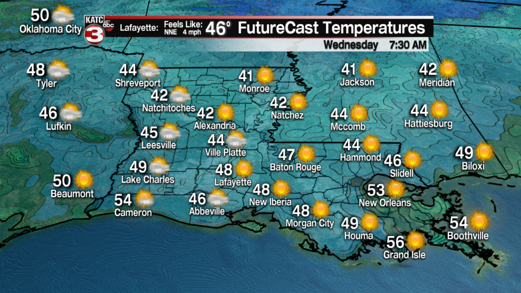
It will chill nicely Tuesday night into Wednesday morning as high pressure continues to build into the area with temperatures dropping into the mid 40s.
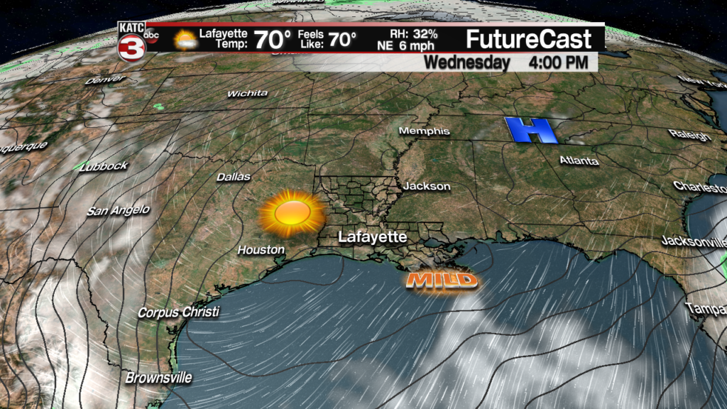
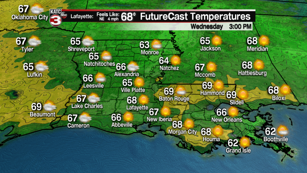
More sunshine and very pleasant temperatures are on tap for the area again Wednesday with highs pushing the lower 70s.
The weather remains pleasant into Thursday, but we might begin to see some clouds returning to the area as high pressure shifts to the east allowing for a moderating temperature and dew point trend into the weekend.
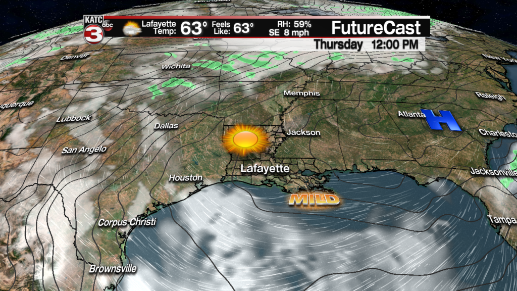
Temperatures Thursday will warm back into the mid 70s.
More clouds will be likely Friday as the next frontal boundary to our north begins to take shape.
Rain chances Friday should remain low, no higher than 10-20% at this point. Highs Friday will be in the mid-upper 70s.
The weekend forecast is still not clear, but for now it appears that a mostly cloudy and warm day can be expected Saturday with highs in the upper 70s to lower 80s. There will be the chance of scattered showers and a few storms Saturday but the best rain chances may follow our next front into Sunday.
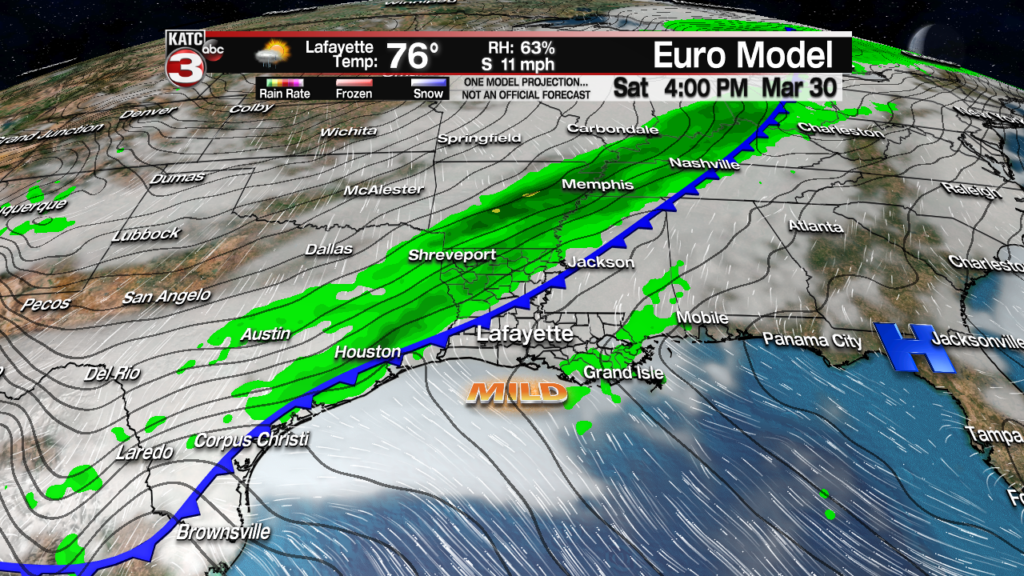
Sunday could be vastly different than Saturday with periods of over-running chilly rains possible (per the Euro Model) with temperatures perhaps holding in the 50s.

Sunny skies and seasonably quite cool temperatures area expected to follow into next week, with the European model even going for the chance of some mid-upper 30s for next Tuesday morning.
For now we can’t embrace those temperatures, but it will indeed be quite cool for the first days of April into the mid-next week period before the next warm-up occurs. See the KATC 10 Day Forecast for the latest.
Climate Notes:
While a good part of Acadiana has experienced enough rain to keep soil moisture values within the norm, there area portions of Acadiana, including much of Lafayette and St Landry Parishes that have simply not had enough rain to stave off and upgrade for portions of the area to be classified as “abnormally dry”.
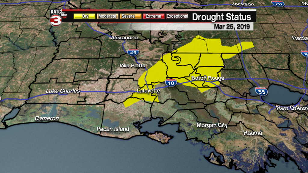
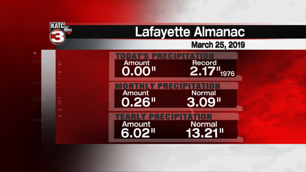
To date for the calendar year, Lafayette has received 45% of our normal rainfall.
Prospects for any significant rainfall won’t improve until the latter part of the weekend at the earliest.
