
Showers and storms will be advancing and developing across Acadiana ahead of a cold front this afternoon, with prime-time for storm activity primarily from 1 pm through 6 pm this evening.
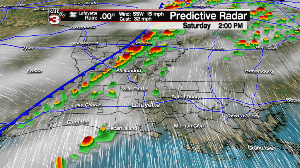
Predictive Radar continues to indicate that activity will be scattered in nature, but more storms than are forecast by the computer models are certainly possible.

Latest Predictive Radar:
 Predictive Radar (HRRR Model) 1 Hour Forecast


In addition, any storms that develop out ahead of the front, roughly between 1 and 3 pm, may exhibit signs of rotation, and could produce damaging winds and/or a brief tornado spin-up.
Storms near the front may also be capable of producing pockets of strong and perhaps damaging winds later this afternoon, and perhaps into the very early evening hours.
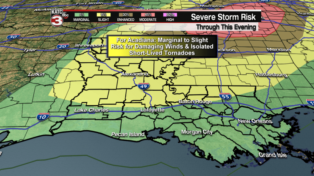
Acadiana remains in a marginal to slight risk of severe storms with the highest risks well to our north.
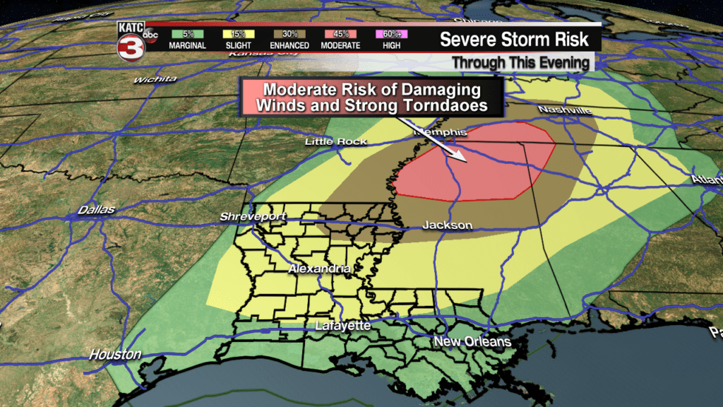
Do expect a tornado watch to be issued from portions of Central Louisiana northeastward into Mississippi where storm dynamics will become dangerous this afternoon into the early evening and a moderate risk of severe weather will exist.
Showers and storms will exit Acadiana around 6 pm for Lafayette and 8-9 pm for St Mary Parish.

Latest Radar:
 Power Doppler HD Acadiana View


