With bright, sunny skies Sunday it didn’t feel too bad especially when the winds die downed, but this evening with clear and calm conditions temperatures will quickly fall into the upper 20s and lower 30s by Monday morning.
Here is a look at the latest hour-by-hour temperatures.
These cold temperatures will likely create a light freeze and frost tonight so sensitive plants will need to be covered but pipes should be fine for most of us except for the far northern portions near Alexandria.
After the frigid start temperatures will warm up nicely on Monday as winds flip out of the south pushing highs near 60 under mostly sunny skies.
Clouds will begin to move over Acadiana during the evening hours and will trap the warmer air at the surface so lows Tuesday morning will be on the mild side in the lower 50s.
Tuesday will feel almost spring-like with temperatures near 70 and dew points climbing into the lower 60s making it a little humid and could cause a few stray showers to develop during the afternoon.
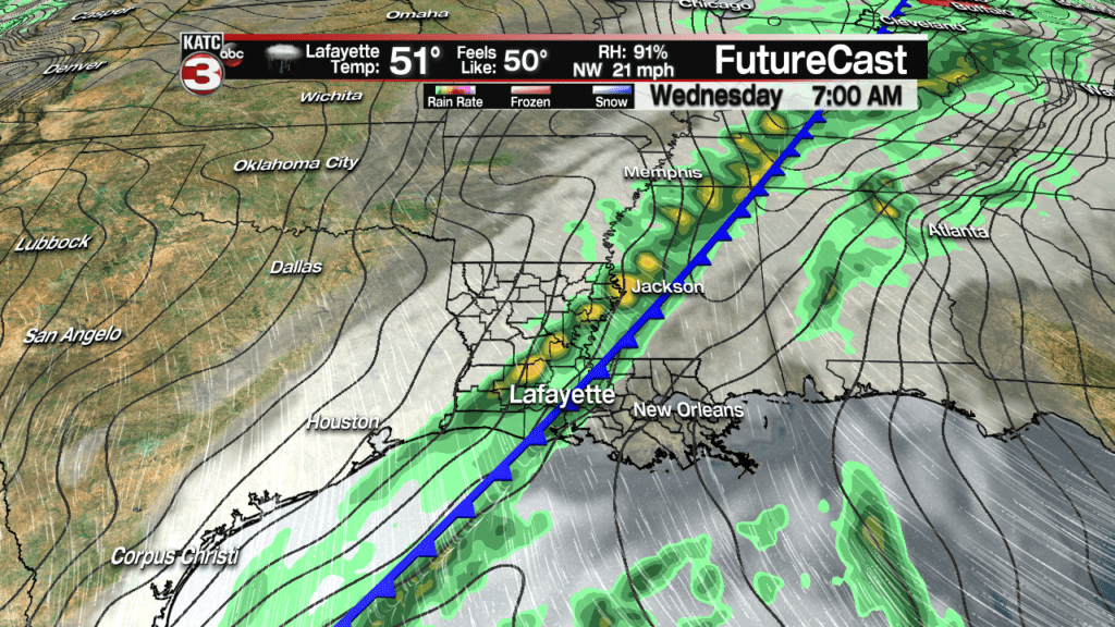
Scattered showers will become more numerous late Tuesday into Wednesday as our next cold front swings through the pelican state.

As this line of showers works through Acadiana a few could produce a rumble of thunder late Wednesday morning but no severe weather is expected.
Hit or miss showers could linger behind the front but all the rain should come to an end during the evening as the front marches farther off to the east.
Another round of cooler and breezy conditions will return on Thursday with highs in the mid 50s and lows in the mid 30s.
A dry, cold front will slide through the southeast Friday pulling even cooler air over the region as highs will drop a few degrees down to the lower 50s and lows Saturday morning could be near the freezing mark.
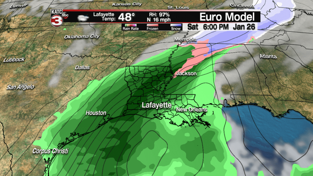
Beyond Friday the long range models are in very little agreement but if we go with the more reliable European model another cold front/Gulf low will produce showers Saturday evening into early Sunday morning.


