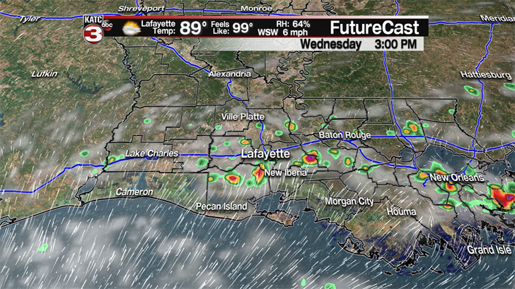
Same old weather story for your Wednesday with more heat and humidity as highs will climb into the low to mid 90s with heat indices in the triple digits for much of the afternoon.
The one difference today is we are already seeing a few showers developing offshore and with a southerly breeze those will move inland during the late morning and into the afternoon producing a slightly better chance(30%) for a couple more communities to see a passing shower or storm.
For the rest of the work week it is back to the typical summertime pattern of hot and humid conditions with just a 20% for a few stray showers or storms during the afternoon.
The start of the weekend looks to be more of the same with plenty of sunshine, highs in the low to mid 90s and feel like temperatures topping out around 103-105 with a couple isolated showers possible.
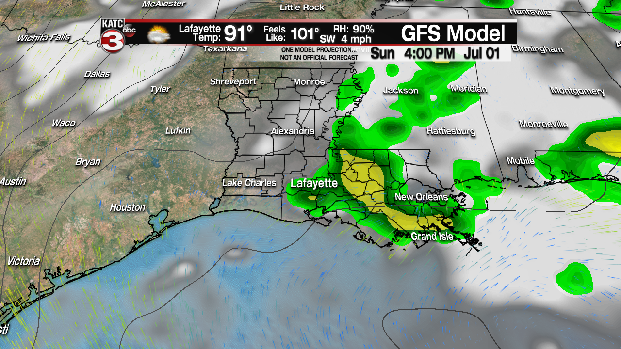
But by Sunday the beginning of some tropical moisture could slide our way from the East bumping rain chances up to about 30-40% during the afternoon, especially for eastern portions of Acadiana.
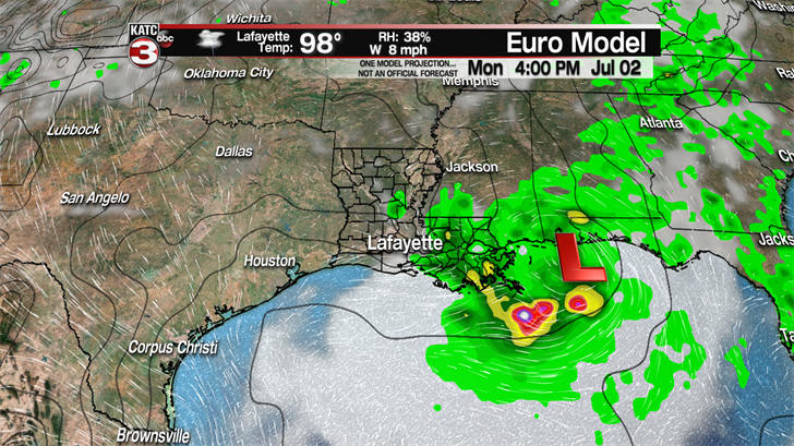
Moving into next week the models, especially the Euro, are showing the possibility for a weak tropical low/wave to maybe develop along the Gulf Coast and produce about a 40-50% chance for scattered showers and storms across Acadiana on Monday and Tuesday.
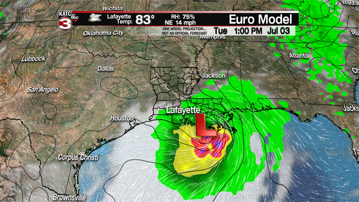
The good news is according to the latest Euro run the low will have pushed off to the west by the 4th of July allowing Acadiana to maybe dry out just in time for all your holiday plans and firework displays, but I am still going to keep about a 30-40% chance for some scattered showers and storms as the low will still be close enough to possibly send us some moisture.
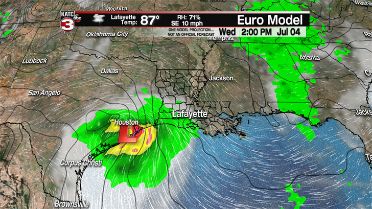
I will definitely be keeping an eye on this forecast in the coming days and will give you the latest information as we get closer.
