Another muggy Tuesday ahead as skies are generally fair to start the morning. Temperatures only managing to drop into the mid 70s for overnight lows. A few isolated thundershowers may pop up in the offshore waters during the pre-dawn hours, and a one or two of those will reach land and dissipate around sunrise. A weak upper disturbance will move through the ArkLaTex early today and weaken as it moves into the Tennessee Valley. High pressure dominates the Rio Grand Valley to our west where dry conditions will prevail, and a trough of low pressure is still holding across the southeast. Disturbance will continue to roll through the upper level pattern across the Midwest and the Ohio Valley into the Mid Atlantic States.
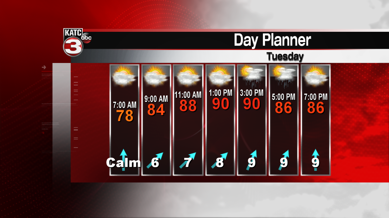
Rain chances will be better for the beaches of Mississippi, Alabama, Florida, as well as areas around Lake Pontchartrain today. West of the Mississippi River will be drier. Here in Acadiana, we can expect about the same coverage as Monday. Isolated T-Storms will develop with daytime heating, but not everyone will receive rainfall. Most will just stay hot and humid. Expect afternoon temperatures to reach the lower to middle 90s with heat index values hovering around 100.


Into the midweek, the ridge over the Southwest should progress northeast into the middle part of the country. This should allow more of a weakness along the Gulf Coast, allowing disturbances to move westward from Florida toward Texas. This should bring a slightly better chance for showers and thunderstorms Thursday and Friday. In addition, tropical moisture from a trough of low pressure in the western Caribbean will move northwest. This moisture could be drawn northward, working with these westward ripples along the northern Gulf Coast. Therefore rain chances should be in the 50% range or perhaps higher by the end of the weekend. As of now, no tropical development is expected, and the NHC still has only a 20% chance for development over the next several days.? Both the GFS and the EURO models agree, with just a weak trough of low pressure drifting westward across the Yucatan toward eastern Mexico and deep south Texas.

