No real changes to the forecast the rest of the week as an upper level high is building over Texas and sliding over Louisiana.
This high will pull down drier air in the upper levels clearing out the clouds the next few days providing extra sunshine to warm temperatures a couple more degrees as highs pushing the mid 90s Thursday through Sunday.

Heat indices will also be on the rise pushing the triple digits for a few hours the next several afternoons so make sure you are wearing the sunscreen, drinking plenty of water and taking breaks if you have to be outside for extended periods.
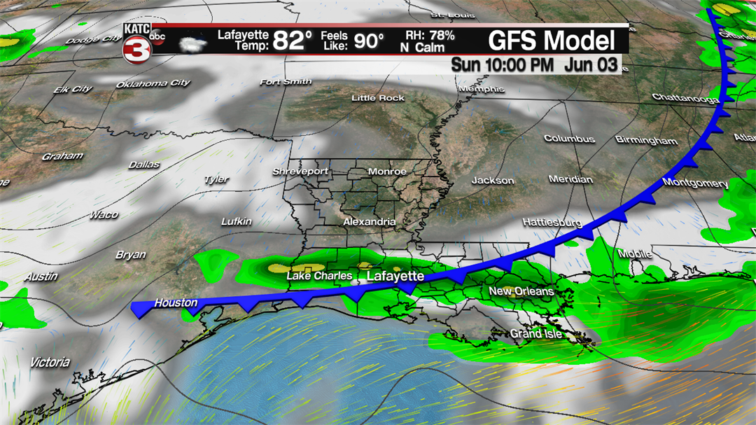
The next best rain chance looks to be Sunday evening as a cool front heads our way helping to spark off a few scattered showers/storms.
Unfortunately this front will not bring any relief from the heat.
Thus, all next week looks to be more of the same with mostly sunny skies, highs in the mid 90s and feel like temperatures pushing the century mark each afternoon.
So find the pool, stop for snoballs or ice cream and turn on the sprinkler as the lawns are going to need some watering as the dry pattern continues and the drought conditions will get worst for the area.
