A cold front has passed through the area and dry, northerly breezes will be with us today. This should clear out our skies and bring abundant sunshine and cooler temperatures. Expect mostly sunny skies by the afternoon with highs reaching the lower 70s. Northerly breezes will be brisk at times, reaching 15-20 mph in gusts. This will create a few rough spots over the Gulf waters, so if you have boating plans, please exercise caution.


Our front will continue pushing southward over the Gulf of Mexico today with high pressure building in from the Midwest. As winds lighten up tonight, and the air mass stays relatively dry, we’ll see chilly overnight temperatures. Most areas will drop into the 40s, with low 50s along the coast. Another cool day is expected for Friday with highs in the upper 60s to near 70 degrees. Normal highs toward the end of April are approaching 80 with lows near 60. Hopefully we can keep this dry, cool, springlike air and push the extreme summer heat away for just a little longer!


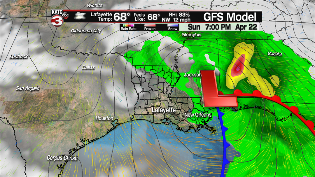
The next system is crashing onto the west coast today and will eventually pull into the Southern Rockies tomorrow. This low is expected to drag across Texas toward Louisiana Saturday night. Some clouds may return by Friday evening, and clouds will stay in place for most of Saturday. It appears rain chances will stay low for Saturday with just one or two showers. By Saturday night, showers and storms will return, and a few of those could get strong by early Sunday. The front will push through with rain ending Sunday afternoon. Clouds will hang on until early Monday.
Next week looks quiet. For at least three, possibly the first four days of Festival, the weather looks terrific!
