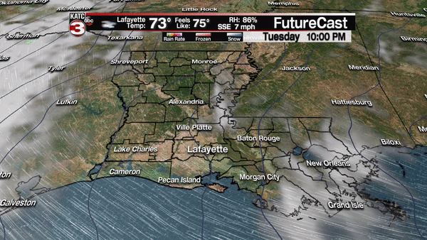
As dew points and relative humidity gradually rise this week, Acadiana’s weather will begin to feel like it’s inching toward summer, starting Wednesday afternoon.
After morning clouds, look for intervals of afternoon sun with temperatures topping out in the mid-80s Wednesday.
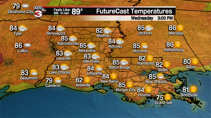
Our dew points will gradually rise into the mid-upper 60s for the rest of the week, insuring our overnight lows rise into the upper 60s to near 70, and yielding a "feels like" or heat index approaching 90 degrees Wednesday afternoon.

Look for more of the same Thursday into Friday with rain chances staying in the 10% range or less, but a slightly better chance of a quick passing shower, at 20%, will be possible Friday afternoon.

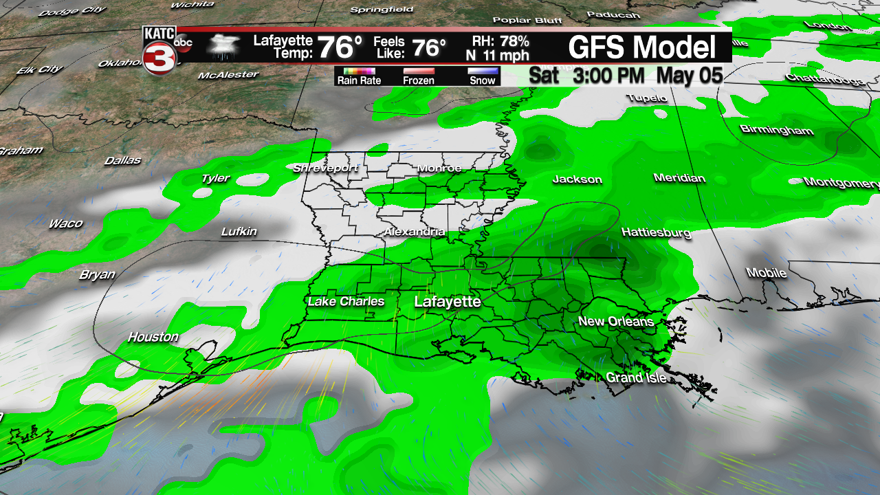
Acadiana is still on track for a fizzling frontal boundary Saturday which should set the stage for scattered showers and a few thunderstorms, with rain chances in the 60% range.
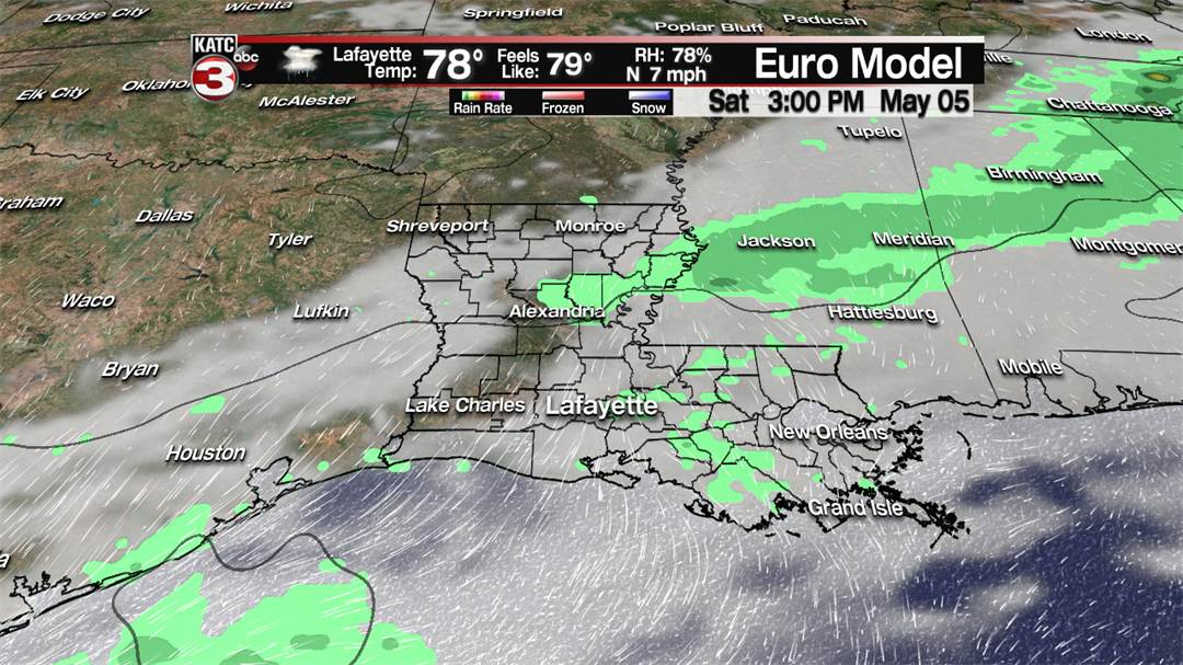
It is still too early to tell what part of the day will see the best rain chances Saturday, with models disagreeing on that issue along with actual rain coverage.
The GFS Model yields a good scattered of showers and storms on and off Saturday morning into the afternoon/evening, while the European Model seems apathetic to much in the way of any significant shower activity.
At least it does appear, that drier more stable air will move into the area Sunday, allowing for mostly sunny and warm conditions, along with more comfortable humidity. An isolated shower cannot be ruled out Sunday, near 10% for Acadiana, but could be closer to 20% toward New Orleans for Jazz Fest.
Moving into next week, a relatively benign May pattern is anticipated, with fair to partly cloudy skies along with daytime highs in the mid-80s, accompanied by almost comfortable lows in the low-mid 60s.
