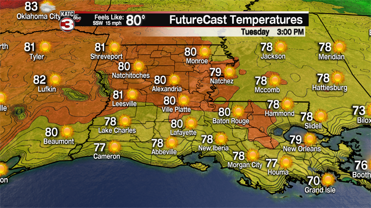
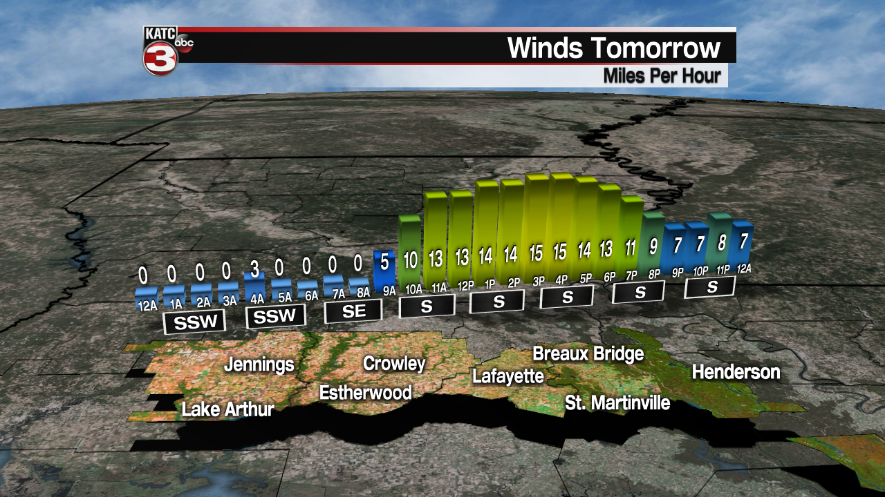
It will be another cool morning with lows in the upper 40s to lower 50s on Tuesday but with a southerly flow returning and plenty of sunshine temperatures will quickly rise into the upper 70s and lower 80s.
As the southerly flow continues to push warm and more humid air over Acadiana clouds will begin to develop on Wednesday with highs climbing into the lower 80s.
Late Wednesday into Thursday morning a weak cool front will slide through the area.
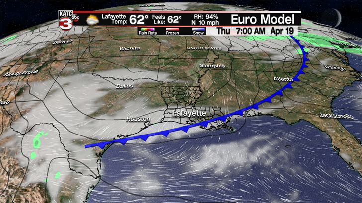
We will not see any rain with this front but it will usher in drier and slightly cooler air for the second half of the work week.
Thus, highs on Thursday will fall a couple degrees into the upper 70s under partly cloudy skies.
Friday morning as skies clear lows will turn cool again falling into the lower 50s.
After the chilly start, Friday will be another fantastic day with a mix of sun and clouds and temperatures in the mid 70s.
Saturday looks to be the pick day of the weekend as clouds will be increasing across the region with highs in the upper 70s.
Sunday morning we are tracking our next strong cold front which will bring widespread showers and thunderstorms to Acadiana.

We will have to watch this front closely in the coming days as it has the potential to produce a couple strong to severe storms again.
Rainfall amounts look to be near an inch as this should be another quick moving system so flooding will not be an issue.
Behind this front clouds could linger into the first half of the following work week and with a northerly flow highs could drop back into the low to mid 70s Sunday through Tuesday and lows will fall into the low to mid 50s.
