

It appears we're back to typical summer weather with near normal temperatures. Expect some hazy sunshine this morning, with partly cloudy skies this afternoon. There's enough moisture available to help spark off a couple of isolated showers or thunderstorms. A few of these may develop late this morning, with additional chances late this afternoon. Temperatures will climb into the lower 90s with heat index values near 106. Overnight, we'll stay pretty muggy with lows in the upper 70s. Most of the evening showers and storms will dissipate once the sun sets. Friday looks hot and humid again with only a slight chance for afternoon storms. Highs will reach the lower 90s.

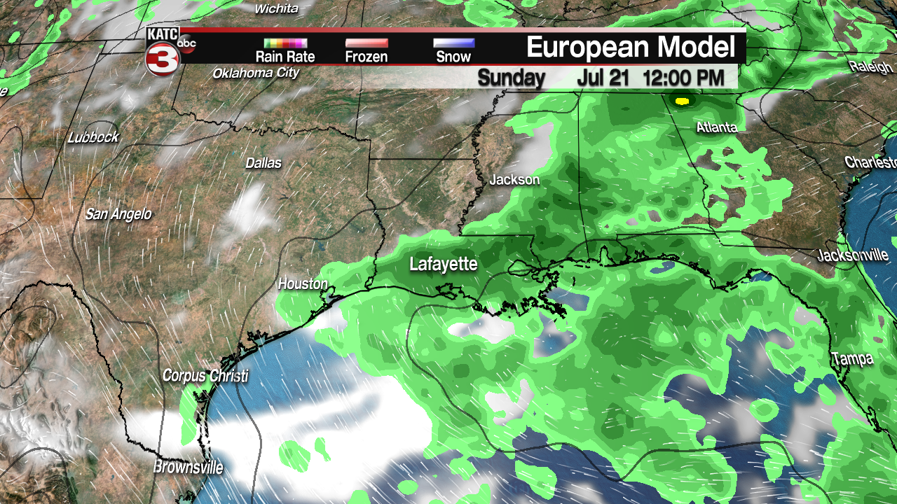
Toward the weekend, a trough will work westward along the Gulf Coast. There should be a bit more cloudiness for Saturday. Scattered rain and storms will dot the area. As the trough gets west of the area Sunday into Monday, we can expect mostly cloudy skies with showers and thunderstorms becoming more likely. Highs will hold near 90 degrees both days with lows in the upper 70s.
Early next week, there's a hint of a front pushing southward. As much as we'd love to see cool, crisp air...this probably won't bring much relief. Most forecasts show this front stalling along the coast. If it pushes farther south, we'll dry out Tuesday, perhaps into Wednesday. But, if the front holds over Acadiana, the rain chances will be higher. We'll have a better idea on how next week will shape up over the next few days.
