


TONIGHT: MILD & MUGGY
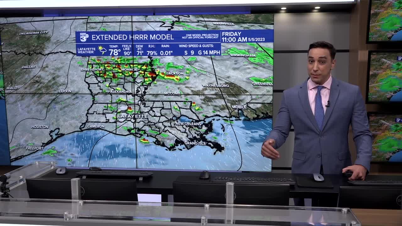
FRIDAY: WARM & HUMID, CHANCE OF SCT. STORMS
DISCUSSION
Well, it looks like we're going to begin the process of turning the page to summer in the days ahead.
Much milder and muggier conditions tonight as lows only settle into the low-mid 70s.

Warm, muggy and pretty much an early summer feel out there Friday as highs climb into the upper 80s.
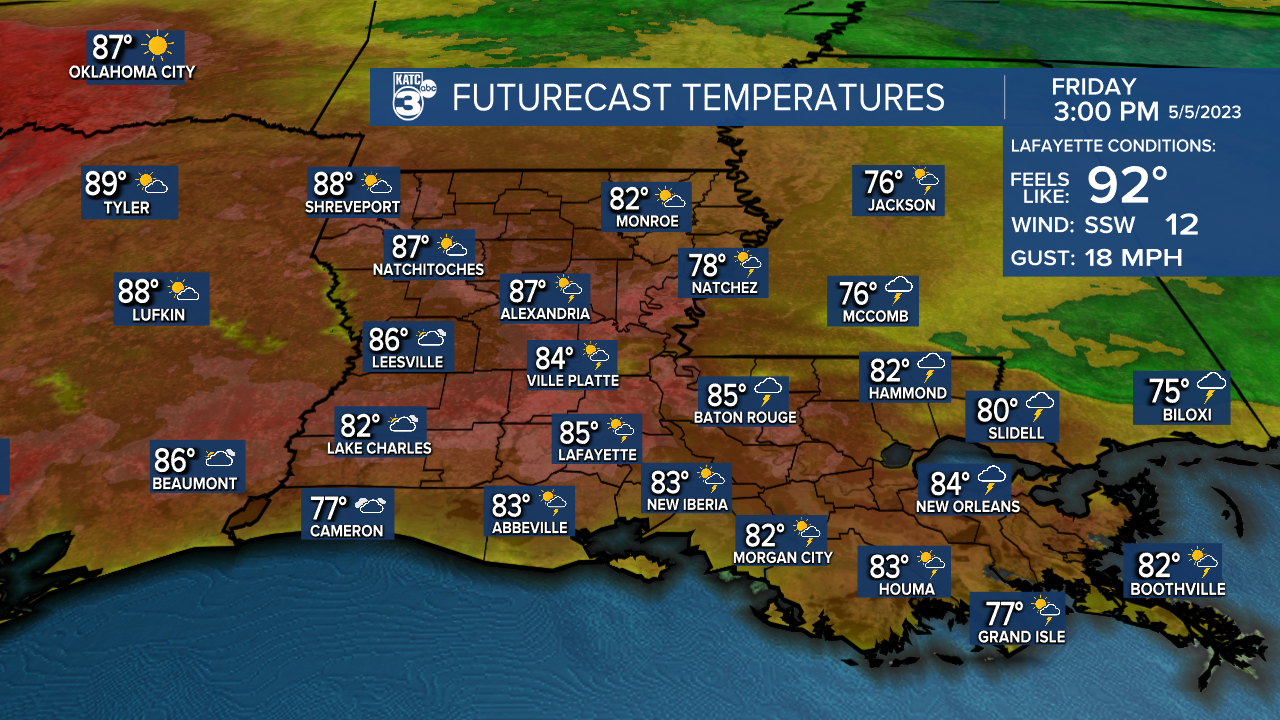
And with dew points in the 70s, heat indices will make their way into the lower 90s.
Additionally, with the added moisture, a few scattered afternoon storms will be possible (40%).
A mesoscale convective complex (MCC) could help increase rain chances further late Friday night into early Saturday morning.
WEEKEND AND BEYOND
We'll see little relief from the heat and humidity this weekend.
Plan on highs to continue pushing the mid-upper 80s with heat indices near 90°.
And again, daytime showers and storms will remain possible as sufficient low-level moisture remains in place (ALTHOUGH RAIN CHANCES COULD BE A TAD LOWER SUNDAY).
Little change into next week as the pattern remains warm, humid and unsettled with daily rain chances in the mix.
No fronts in the current 10-day forecast...
Have a great one!
------------------------------------------------------------
Stay in touch with us anytime, anywhere.
To reach the newsroom or report a typo/correction, click HERE.
Sign up for newsletters emailed to your inbox. Select from these options: Breaking News, Evening News Headlines, Latest COVID-19 Headlines, Morning News Headlines, Special Offers
