


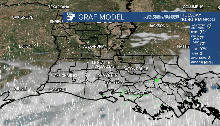
All of the shower and storm activity has pushed east of Acadiana.
Mild and muggy overnight with readings holding in the lower 70s.
We may see some patches of dense fog first thing Wednesday morning, so keep that in mind for the early morning commute.
A mostly cloudy start to our Wednesday will give way to some intervals of sunshine by the afternoon.
A frontal boundary will start to work into the area.
Highs will likely still push the mid-80s out ahead of the boundary.
A couple light showers/sprinkles could accompany the front as it pushes through, but rain chances won't be overly high (20%).
Winds will pick up out the north Wednesday evening and into Thursday.

Much cooler by Thursday morning with readings expected to be in the upper 40s to lower 50s.
Plenty of sunshine for Thursday, Friday and into the weekend.
Low-mid 70s for highs both Thursday and Friday.
Readings will push the upper 70s come the weekend.
Overnight will remain chilly in the 40s.
We'll start to see warmer temperatures and the return of scattered rain chances as we head into next week.
------------------------------------------------------------
Stay in touch with us anytime, anywhere.
To reach the newsroom or report a typo/correction, click HERE.
Sign up for newsletters emailed to your inbox. Select from these options: Breaking News, Evening News Headlines, Latest COVID-19 Headlines, Morning News Headlines, Special Offers
