Beneficial rain over the past week or so has really put a dent into our drought status across Acadiana!

Some difference compared to just a month ago!
After another decent scattering of tropical showers earlier today, we're looking at a relatively quiet evening and night ahead.
It'll be mild and muggy overnight as lows settle into mid-upper 70s under fair skies late.
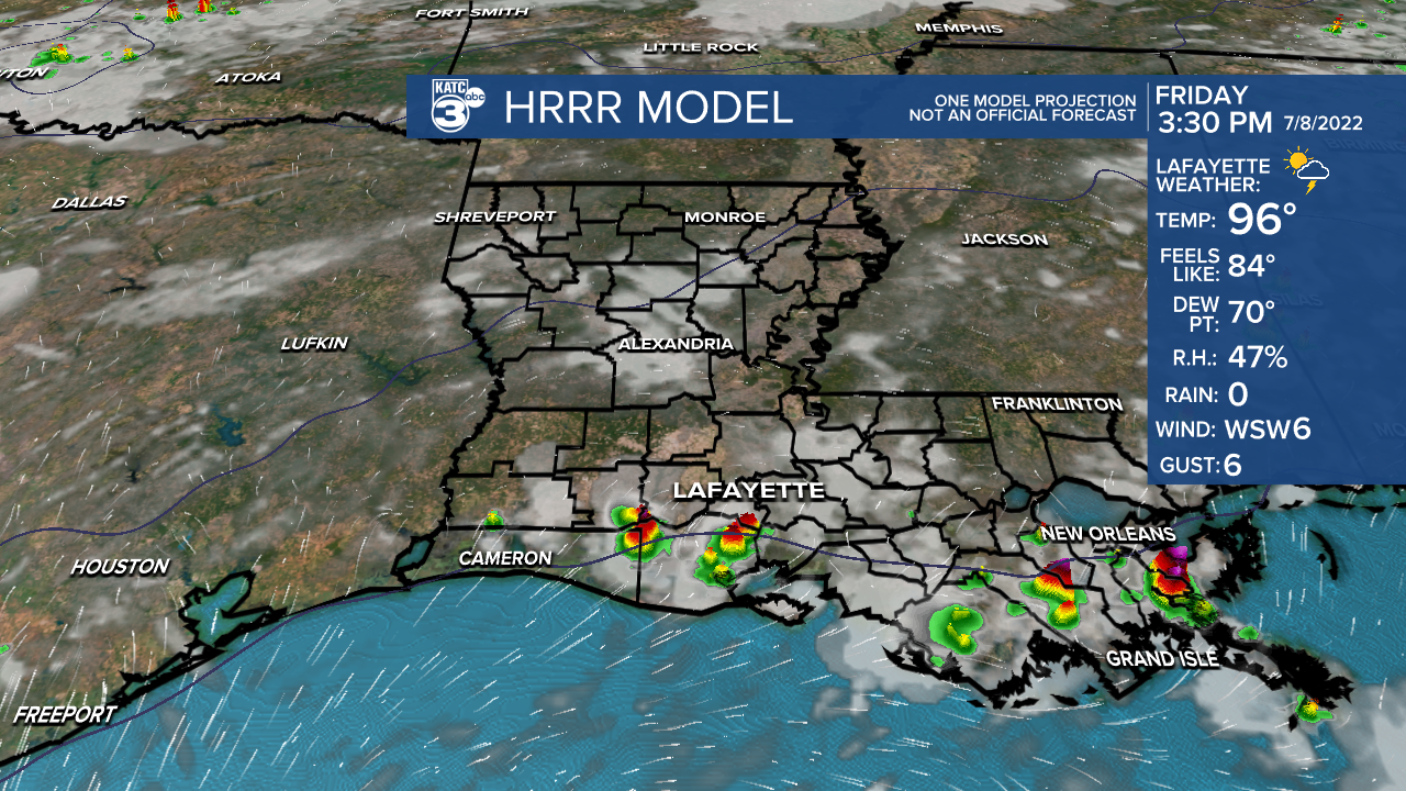
Very typical July weather expected Friday.
Hot and humid with highs in the low-mid 90s under generally partly cloudy skies.
With a good amount of low-level moisture in place along with daytime heating, we should see a few scattered storms throughout the day (30-40%), although upper-level ridging may try and squelch most activity.

Likely a similar scenario heading into Saturday as highs continue to push the mid-90s.
By Sunday, a frontal trough will start to advance into the area.

As a result, expect a more widespread scattering of showers and storms (potentially getting going early in the morning).
That boundary will kind of get caught up across the region at least through the first half of next week.
That, coupled with deep tropical moisture in place, will keep rain chances at least somewhat elevated (40-60% any given day).
Have a good one!
TROPICS
All remains quiet in the Atlantic basin with no new developments expected at least in the next 5-7 days.
------------------------------------------------------------
Stay in touch with us anytime, anywhere.
To reach the newsroom or report a typo/correction, click HERE.
Sign up for newsletters emailed to your inbox. Select from these options: Breaking News, Evening News Headlines, Latest COVID-19 Headlines, Morning News Headlines, Special Offers


