DISCUSSION
Showers and thunderstorms remaining likely for the remainder of our Wednesday afternoon/evening with the possibility of a few storms on the strong to perhaps severe side as a cold front rolls through.

Damaging wind gusts would be the primary threat, although an isolated tornado threat does exist.
1-2"+ certainly looks likely for most areas when all is said and done.
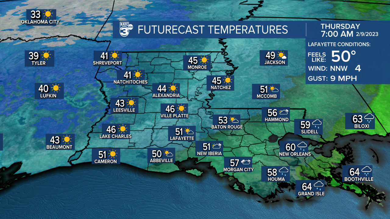
We'll then be turning cooler behind the front heading into Thursday morning.
Expect readings to be in the mid-upper 40s first thing out the door.

Otherwise, mostly sunny skies for the remainder of our Thursday as high temperatures top out comfortably in the upper 60s.
FRIDAY INTO WEEKEND
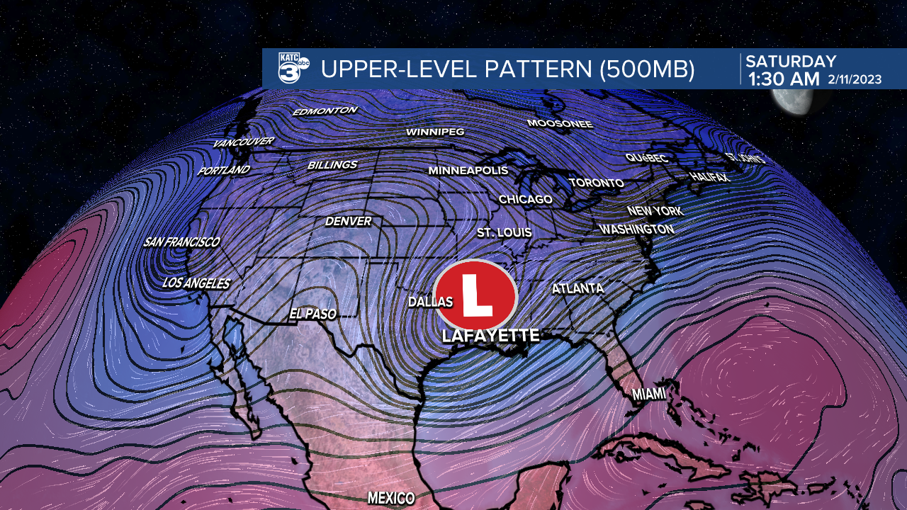
A pesky upper-level disturbance will be traversing the area Friday into Saturday.

At the very least, we are likely going to be dealing with some added cover across the region as a result.
A few isolated showers could be possible, especially across eastern Acadiana early Friday.
However, moisture levels at the surface thereafter will make it difficult for any precipitation to reach the ground.
Additionally, this upper feature will also send in another shot of colder weather.
Highs may struggle to get out of the 40s Saturday with lows heading close to freezing Saturday night into Sunday morning.
Be sure to bundle up if you plan on heading out to any of the parades this weekend!
------------------------------------------------------------
Stay in touch with us anytime, anywhere.
To reach the newsroom or report a typo/correction, click HERE.
Sign up for newsletters emailed to your inbox. Select from these options: Breaking News, Evening News Headlines, Latest COVID-19 Headlines, Morning News Headlines, Special Offers


