


All of Acadiana will need to be weather aware tonight for the threat of severe weather (slight risk—level 2 out of 5).
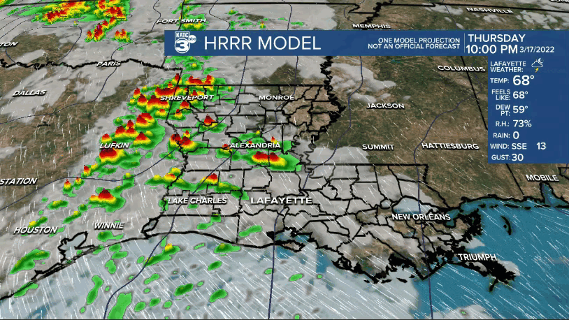
Strong winds and hail will be the primary threats.
But there is a stronger signal for spin potential in the atmosphere tonight compared to Monday night, so any storms that do get going will have the potential to gain rotation meaning a tornado warning or two could be possible.
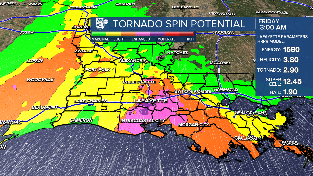
Prime-time for storms in Acadiana will be from midnight-5am, so make sure you have ways (more than 1) to receive alerts and wake you up in the event a warning is issued.
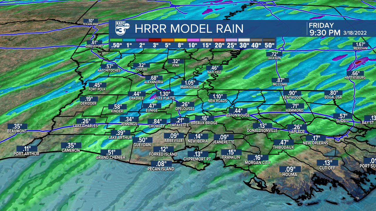
Rainfall amounts will vary with some of us picking up a decent soaking while others don't see much at all.
We'll get back to mostly sunny skies late Friday morning and into the afternoon.
Staying mild with highs in the mid-70s.
A little cooler Friday night/Saturday morning as lows drop into the mid-40s.
Really nice looking March weather heading into the weekend.
Mostly sunny both Saturday and Sunday.
Highs in the upper 60s to lower 70s Saturday and then back to mid-70s Sunday afternoon.
Another chance of severe weather will come on Tuesday, so we'll have to watch that closely in the days ahead.
In the short-term, remain weather aware tonight and through early Friday morning.
We'll be keeping you updated through the night, so stay tuned for the latest.
------------------------------------------------------------
Stay in touch with us anytime, anywhere.
To reach the newsroom or report a typo/correction, click HERE.
Sign up for newsletters emailed to your inbox. Select from these options: Breaking News, Evening News Headlines, Latest COVID-19 Headlines, Morning News Headlines, Special Offers
