


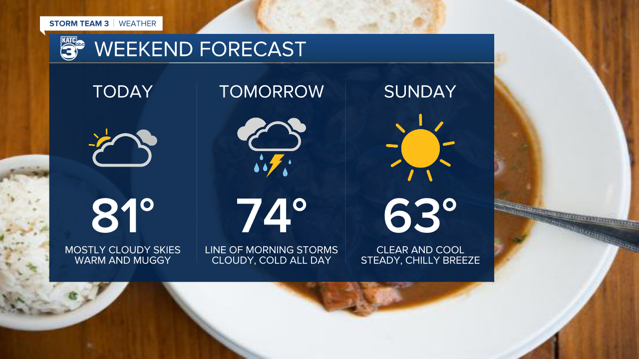
The forecast for Friday looks more appropriate for spring as opposed to summer, with highs getting into the low 80s.
It'll be a mostly cloudy day, as well, with only a few fleeting moments of sunshine in the afternoon.
Keeping that warm, muggy air in place will be strong, gusty winds that will continuously be coming in from the south around 10-15 mph, and gusting even higher.
Since those clouds will linger through the rest of the night it will keep temperatures in the mid 70s overnight and early Saturday morning, which is going to be as warm as we get Saturday.

A front is moving through Saturday morning, pushing through Acadiana between 7:00 a.m. and Noon, and bringing with it a line of showers and storms.
There is a chance that some of those storms will produce damaging winds, and along the frontal boundary an isolated spin-up tornado will be possible.
Any severe weather we get on Saturday will be isolated and short lived, although almost all of us will experience some for of thunderstorms only a few will get some of the more intense storms.
Once the front passes temperatures will start to drop and they'll fall through the day, so expect Saturday's high to be early in the morning.
Clouds stick around on Saturday and winds will be strong out of the north through the majority of the day.
Clouds finally clear out Sunday and the weekend will conclude with cool, crisp weather.
------------------------------------------------------------
Stay in touch with us anytime, anywhere.
To reach the newsroom or report a typo/correction, click HERE.
Sign up for newsletters emailed to your inbox. Select from these options: Breaking News, Evening News Headlines, Latest COVID-19 Headlines, Morning News Headlines, Special Offers
