LOWS TONIGHT: MID-UPPER 60's
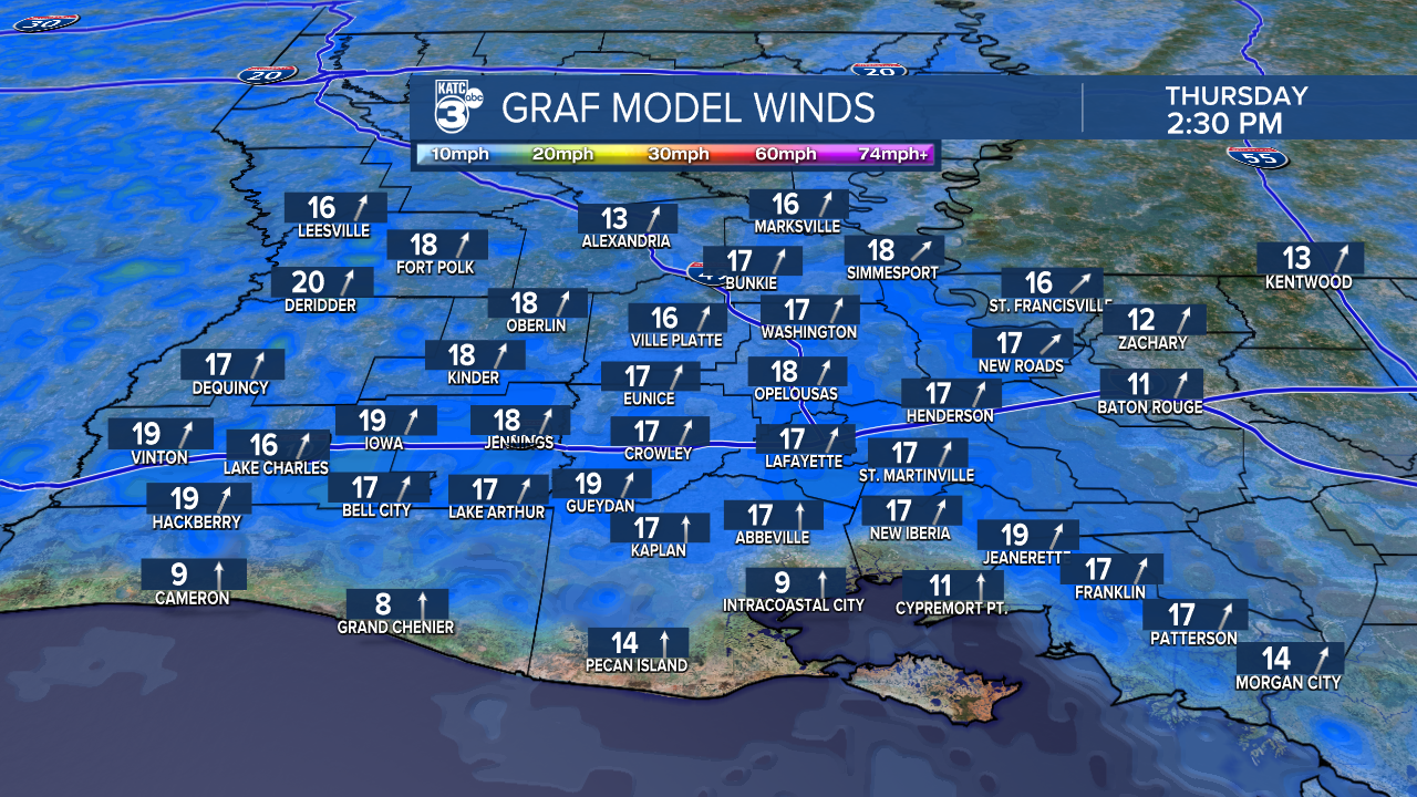
HIGHS THURSDAY: LOWER 80's
DISCUSSION
Well, it's hard to believe we were talking freezing temperatures just two mornings ago.
Those cold temperatures are long gone, and now, it's all about the return of spring warmth and... pollen.
Overall, it will be a milder night across Acadiana as lows only drop into the mid-upper 60's under partly cloudy skies.
A little bit of a southerly breeze will once again likely keep any fog at bay.
Thursday will feature more of the same—— sun and cloud mix with highs pushing the lower 80's.

Winds will remain breezy out of the south (10-20mph).

An isolated shower can't be ruled out, but not likely.
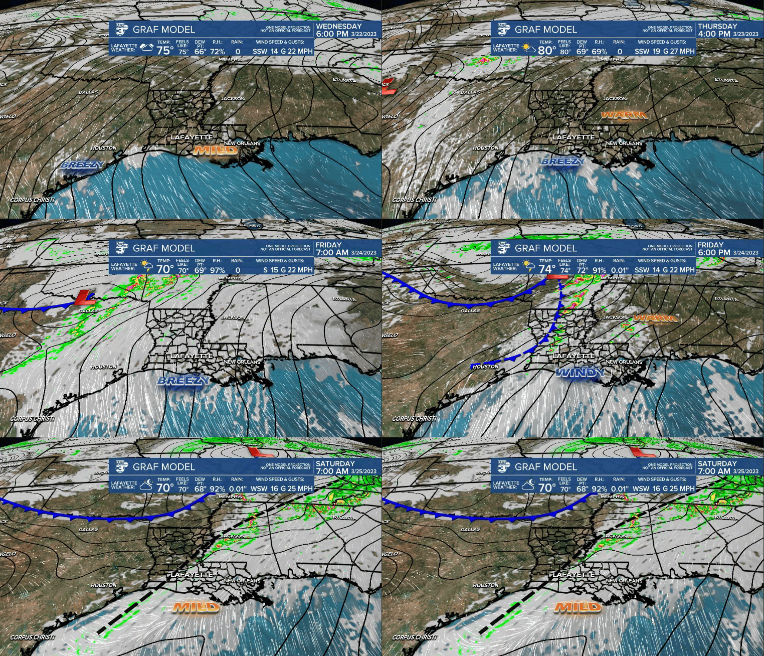
A frontal boundary will begin to approach the area Friday.
Out ahead of it, expect warm, muggy and breezy conditions throughout the day.

The main upper-level energy with this system will actually lift north, but showers and a few storms will be likely here locally Friday afternoon/evening.
The SPC still highlights the risk for severe storms, but again, the main action looks to set up north of Acadiana.
We'll keep an eye on trends, but models have backed off even further on rainfall amounts.
Even though we won't see a cool down behind this front, we will get to enjoy a reduction in our humidity Saturday.
Even with that said, highs will still push the lower 80's.
The frontal boundary will begin to lift back northward as a warm front Sunday.

As a result, the muggies will make a return as will higher rain chances to round out weekend.
The pattern looks to remain somewhat unsettled Monday, before a more definite push of drier air arrives Tuesday.
We'll see how that plays out in the coming days.
Have a good one!
------------------------------------------------------------
Stay in touch with us anytime, anywhere.
To reach the newsroom or report a typo/correction, click HERE.
Sign up for newsletters emailed to your inbox. Select from these options: Breaking News, Evening News Headlines, Latest COVID-19 Headlines, Morning News Headlines, Special Offers


