


Skies will gradually clear tonight as chilly conditions continue.
Lows will bottom out in the mid-40s by morning.
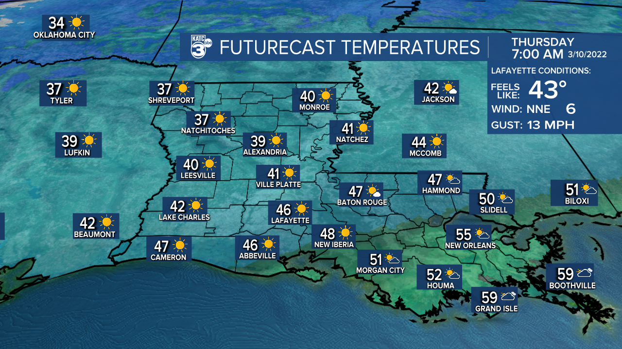
Plenty of sunshine out there for our Thursday as highs settle into the middle 70s.
It'll be just a lovely day indeed with light northerly winds in place.
Readings hold in the 50s tomorrow night into Friday morning as clouds make their return.
We may start out with a few scattered showers during the morning commute.

Showers and storms will be on a scattered basis Friday (60%) as a cold front starts to approach.
There is a low-end risk of an isolated severe storm (level 1 out of 5)—mainly Lafayette on eastward.

Activity will remain possible heading into Friday evening as well.

Any leftover showers will come to an end by midnight.
Turning much colder and windy behind this front.
In fact, lows Saturday morning will be in the mid-30s with a wind chill in the 20s!
Have the winter jackets and coasts ready to go!
The good news is that we will see plenty of sunshine through the course of the weekend, but it'll be quite cool Saturday afternoon as highs struggle to reach the 50s.
Readings will likely head to near freezing come Sunday morning with a better chance of frost across the area.
I'd go ahead and start making preparations to protect the plants!
Temperatures Sunday afternoon will rebound into the lower 60s.
We'll return to a more spring-like pattern into next week.
------------------------------------------------------------
Stay in touch with us anytime, anywhere.
To reach the newsroom or report a typo/correction, click HERE.
Sign up for newsletters emailed to your inbox. Select from these options: Breaking News, Evening News Headlines, Latest COVID-19 Headlines, Morning News Headlines, Special Offers
